What is recorded here
In reclaimed pasture immediately W of the townland boundary with Garranekeagh. Shown as a circular-shaped earthwork or platform with Trig Station marking spot height of 486 ft. OD on 1840 ed. OSi 6-inch map. Depicted on the OSi 25-inch map as a triangular-shaped area (dims. c. 20m N-S; 21m E-W) enclosed by a bank with a trigonometrical station marked at N. Outline of scrub-covered monument visible on Google Earth orthoimages.
See attached Google Earth orthoimages.
Compiled by: Martin Fitzpatrick
Date of upload: 18 August 2021
The monument record does not grant public access. Check the route and ask the landowner before entering private land.
- What survives
- Recorded monument
Places near here
 Castle (in ruins)Castle, unclassified · 479 yd
 Knockannaskeagh FortsFairy fort / earthen ringfort · 807 yd
 Enclosure in BrickfieldEnclosure · 866 yd
 Site of CastleCastle, unclassified · 1036 yd
 Tobernea Housepresbytery/parochial/curate's house · 1.0 mi
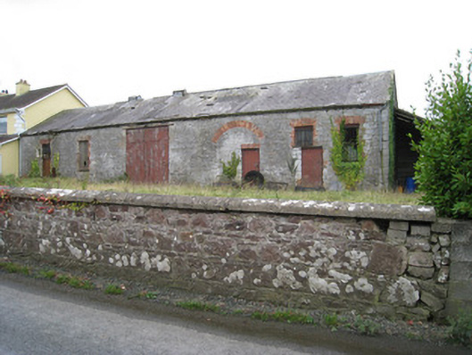 Effin Creameycreamery · 1.1 mi
 St Bridget's WellSpring · 1.4 mi
 Lady's WellSpring · 1.5 mi
 Caher HillMountain / peak · 2.1 mi
 BallinaboolaVisitor information · 3.2 mi
 Carron MountainMountain / peak · 3.3 mi
 Holy Cross CemeteryGraveyard · 4.0 mi