What is recorded here
Situated on the NE-facing slope of a hill in pastureland with the land falling steeply to the N to a river valley. A D-shaped enclosure (dims. 22m NE-SW; 25m NW-SE) with straight sides at NW and SW, the latter being defined by a natural scarp (H 0.38m) which runs beyond the site to the NW. The rest of the enclosure is defined by an earthen bank (Wth 1.8m; int. H 0.2m; ext. H 0.76m) with no evidence of an external fosse. The interior slopes very gently to the NE and is quite undulating, possibly due to ridge and furrow. The enclosure may have been a garden plot though it is indicated quite clearly as an oval enclosure on the 1st ed. (1840) OS 6-inch map.
The above description is derived from 'The Archaeological Inventory of County Tipperary. Vol. 1 - North Tipperary' compiled by Jean Farrelly and Caimin O'Brien (Dublin: Stationery Office, 2002). In certain instances the entries have been revised and updated in the light of recent research.
Date of upload/revision: 22 September 2008
The monument record does not grant public access. Check the route and ask the landowner before entering private land.
- What survives
- Recorded monument
Places near here
 Borrisnoe MountainMountain / peak · 1.2 mi
 St. Jamess WellHoly well · 1.3 mi
 Kilduff MountainMountain / peak · 1.4 mi
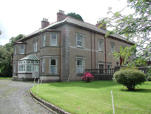 Skehanagh Househouse · 1.7 mi
 Cliff-edge fort in CloncannonCliff-edge fort · 1.8 mi
 dam/reservoir/basindam/reservoir/basin · 1.9 mi
 Longford WoodForest · 2.0 mi
 BatteryCastle, ringwork · 2.0 mi
 The MoatCastle, motte · 2.2 mi
 Morris's GroveForest · 4.6 mi
 Thomas MacDonagh Heritage CentreMuseum · 8.8 mi
 MacDonagh HouseMemorial · 8.8 mi