What is recorded here
On top of a slight rise in gently undulating pasture. Shown as a hachured circular area (diam. c. 15m) on the 1904 ed. of the OS 6-inch map. The enclosure has been levelled and is not visible ground level.
Compiled by: Jean Farrelly
Date of upload: 26 August 2011
The monument record does not grant public access. Check the route and ask the landowner before entering private land.
- What survives
- Recorded monument
Places near here
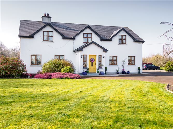 Enclosure in Barronstown (laffan),barronstown (ormond), (tipperary Par.)Enclosure · 790 yd
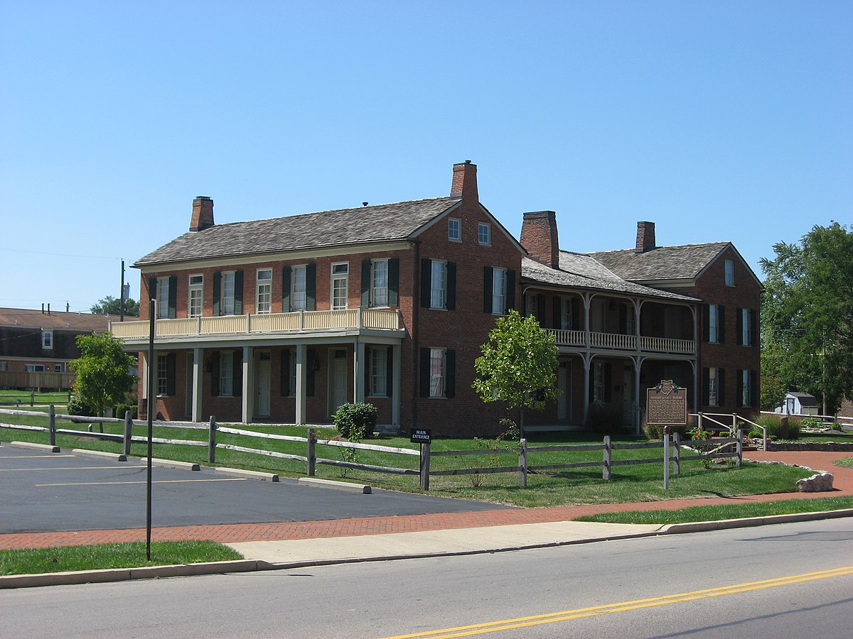 Enclosure in Springfield (tipperary Par.)Enclosure · 914 yd
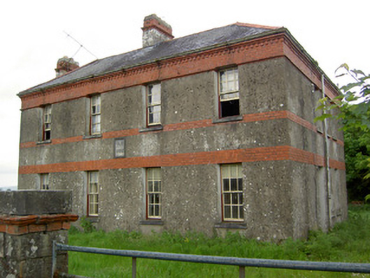 Victoria Houseoffice · 1023 yd
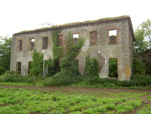 Roesborough Housecountry house · 1441 yd
 Mutton Pie HillCastle, motte · 1.0 mi
 MoatCastle, motte and bailey · 1.2 mi
 The Maid of ErinMemorial · 1.5 mi
 It's a long way to TippereryHeritage attraction · 1.6 mi
 Soloheadbeg Ambush SiteMemorial · 1.9 mi
 The RockViewpoint · 3.7 mi
 European ashEuropean ash · 3.8 mi
 Oola HillMountain / peak · 3.8 mi