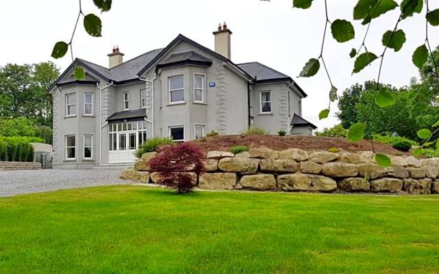
What is recorded here
Situated on a slight knoll just above the flood-plain of the NE-SW River Slaney which is c. 150m to the SE. The cropmark enclosure of a rath (WX020-067001-) has a small annexe (diam. c. 20m) attached to the perimeter at S and is visible on aerial photographs (MM (13) 27-30).
Compiled by: Michael Moore
Date of upload: 7 June, 2012
The monument record does not grant public access. Check the route and ask the landowner before entering private land.
- What survives
- Recorded monument
Places near here
 Stone CirclesEnclosure · 472 yd
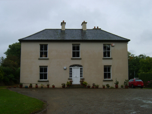 Kilcannon Housefarm house · 522 yd
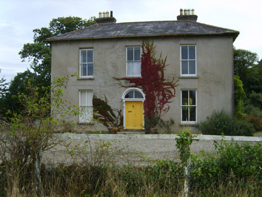 farm housefarm house · 867 yd
 IndicatedField boundary · 933 yd
 Battle of Vinegar Hill, 1798Monument · 1703 yd
 Vinegar HillMountain / peak · 1.0 mi
 U.N. Peace MemorialMonument · 1.3 mi
 Bernard Dunne Memorial BenchMemorial · 1.3 mi
 Battle of Vinegar HillMajor battlefield · 1.3 mi
 National 1798 CentreMuseum · 1.6 mi
 Daphney CastleCastle, unclassified · 2.5 mi
 CastleCastle, ringwork · 3.3 mi
Other information
Photo: Credit not shown in the picture search · Rights wording not checked; contact us if this picture should be removed