
What is recorded here
In pasture, on top of a prominent ridge with excellent views in all directions. A raised roughly oval area (c. 16.5m WNW-ESE; 9.5m NNE-SSW) defined NW-ENE by a low curving bank of earth and stone (Wth 2.8m; int. H 0.6m; ext. H 0.75m). From SE-WSW, the bank has been straightened and incorporated into a now disused field boundary wall. There are no visible remains of the enclosure to S of this field wall. A small portion of the enclosure has been destroyed at W due to the construction of a large concrete water tank and a farm building. A break (Wth 1.9m) in the bank at E may mark the original entrance. According to local information, 'passages' which emanated from this enclosure were filled with stones in the 1950s and 1960s.
The above description is derived from the published 'Archaeological Inventory of County Sligo' compiled by Ursula Egan, Elizabeth Byrne, Mary Sleeman with Sheila Ronan and Connie Murphy (Dublin Stationery Office, 2005).
Date of upload: 18 January 2008
This remains an important historical record, but the official description says the monument is no longer visible or has been destroyed. The monument record does not grant public access. Check the route and ask the landowner before entering private land.
- What survives
- No visible remains or recorded as destroyed
Places near here
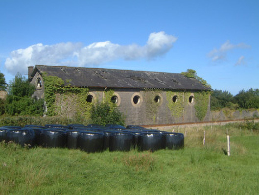 Ballysadare Railway Stationtrain shed · 528 yd
 Ballydrehid Br.Bridge · 627 yd
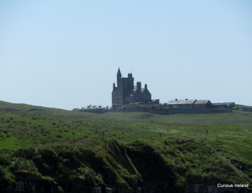 CastleCastle, unclassified · 685 yd
 Ecclesiastical enclosure in KilboglashyEcclesiastical enclosure · 1223 yd
 IndicatedPromontory fort, inland · 1249 yd
 Union RockForest · 1.2 mi
 Battle of Collooneybattle · 1.7 mi
 Teeling MonumentMemorial · 1.7 mi
 BunreecoillMountain / peak · 2.0 mi
 SlievewardMountain / peak · 2.0 mi
 European ashEuropean ash · 2.7 mi
 Tobernalt Holy WellSpring · 2.8 mi
Other information
Photo: Credit not shown in the picture search · Rights wording not checked; contact us if this picture should be removed