What is recorded here
In gently undulating tillage with poor views in all directions, 150m W of townland boundary with Kilpeacon and standing stone (LI022-236----) 125m to SW. No surface remains visible. Depicted on the 1840 OS 6-inch map as a large circular shaped area enclosed by a scarp, not marked on subsequent editions, likely that monument was levelled between the map dates. Faint trace of cropmark of levelled monument visible on Google Earth orthoimage taken 06/02/2018.
See attached Google earth orthoimages
Compiled by: Fiona Rooney
Date of upload: 28 July 2020
The monument record does not grant public access. Check the route and ask the landowner before entering private land.
- What survives
- Recorded monument
Places near here
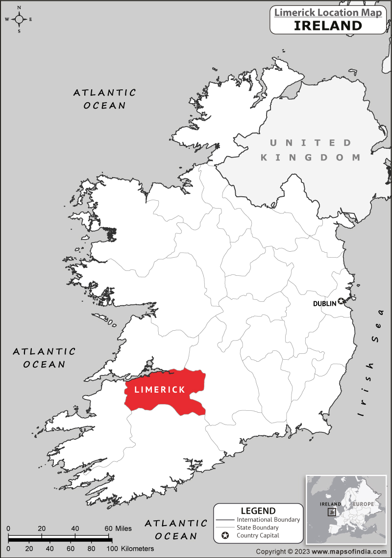 Partially hachuredEnclosure · 737 yd
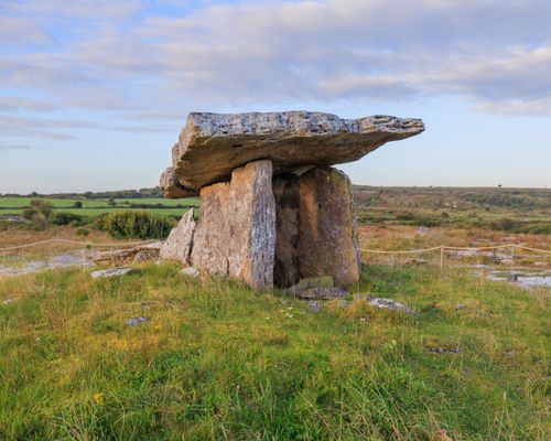 Megalithic structure in BadgerfortMegalithic structure · 747 yd
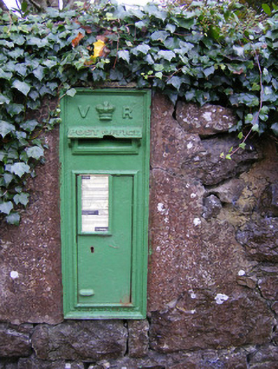 post boxpost box · 747 yd
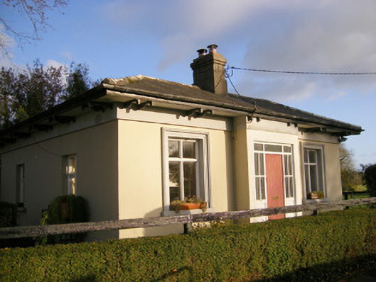 Kilpeacon Housegate lodge · 970 yd
 Villiers WellSpring · 1095 yd
 Partially indicatedBawn · 1487 yd
 (Site of) Garryellen CastleCastle, unclassified · 1.0 mi
 Carnane RockNamed rock · 1.7 mi
 Monasteranenagh AbbeyHeritage attraction · 4.4 mi
 Biodiversity in the Maigue CatchmentVisitor information · 5.3 mi
 European ashEuropean ash · 5.5 mi
 Dysert AenghusaHeritage attraction · 6.1 mi