What is recorded here
An aerial photograph taken in 1989 (GB89.AH.33) shows a cropmark of an incomplete circular enclosure defined by a fosse.
Compiled by: Dr. Gillian Barrett for the Archaeological Survey of Ireland
The attached image is copyright and uploaded courtesy of Dr. Gillian Barrett.
Date of upload: 12 March 2013
The monument record does not grant public access. Check the route and ask the landowner before entering private land.
- What survives
- Recorded monument
Places near here
 Church (in ruins)Church · 445 yd
 Enclosure in BaunogenasraidEnclosure · 602 yd
 Enclosure in KillenoraEnclosure · 759 yd
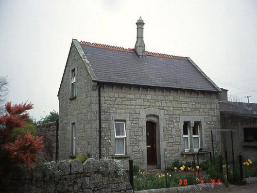 Moylegate lodge · 1704 yd
 Site of CastleCastle, unclassified · 1.8 mi
 Friarstown Castle (in ruins)Castle, tower house · 1.8 mi
 Kilmurry Church (in ruins), GraveyardChurch · 2.2 mi
 Pedunculate OakPedunculate Oak · 2.8 mi
 Brownshill Portal TombVisitor information · 3.1 mi
 Duckett's GroveHeritage attraction · 3.4 mi
 Church (in ruins), GraveyardChurch · 3.5 mi
 Cork oakCork oak · 3.6 mi