What is recorded here
New site identified by John Cronin & Associates (JCA) under Licence No. 16E0127 prior to wind farm development in Barnastooka, Kilgarvan, Co. Kerry by ESB Wind Development Ltd. Plectrum-shaped enclosure constructed of loose, dry-stones stones located near northwest corner of NICH36 settlement enclosure (ITM grid co-ord. 505537, 571375). Wall height varies from 0.6m to 1m and wall width varies from 0.4m to 0.7m. It is partly collapsed on SW side. Entrance is in northeast corner. From NW to SE, it is 5.7m long externally and 4.4m long internally. From SW to NE, it is 5m wide externally and 3.7m wide internally. Vegetation in its interior and to the east is mostly rushes, indicating that this patch of ground has probably been fertilised by livestock. It overlooks most of the NICH36 settlement enclosure to south-east and east.
See attached photograph courtesy John Cronin.
Compiled by: Caimin O'Brien based on details provided by John Cronin
Date of upload: 7 April 2022
A plectrum-shaped early-medieval ringfort identified in Barnastooka, Co. Kerry, likely dating to the 6th–10th centuries. No specific folklore is recorded for this site, though it may have been associated with local traditions of fairy forts as dwellings of the Sidhe.
The monument record does not grant public access. Check the route and ask the landowner before entering private land.
- What survives
- Recorded monument
Places near here
 Field system in BarnastookaField system · 112 yd
 Booley hut in Cummeen UpperBooley hut · 1006 yd
 Carran Far North TopMountain / peak · 1271 yd
 Carran Far NE TopMountain / peak · 1.4 mi
 Inchee Br.Bridge · 2.1 mi
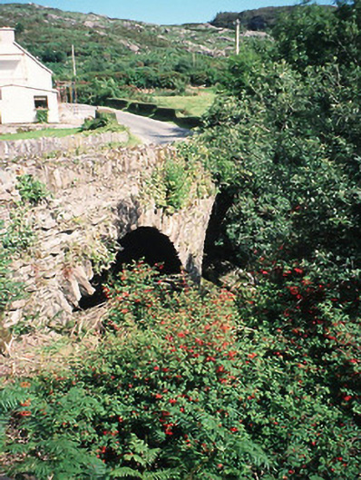 Morley's Bridgebridge · 2.5 mi
 Kilgarvan Motor MuseumMuseum · 2.7 mi
 Battle of Callannbattle · 2.9 mi
 Great Southern & Western RailwayMemorial · 3.2 mi
 European ashEuropean ash · 3.9 mi
 Gougane BarraValley and heritage place · 4.1 mi
 Castle (Site of)Castle, unclassified · 4.4 mi
Other information
Photo: Credit not shown in the picture search · Rights wording not checked; contact us if this picture should be removed