
What is recorded here
New site identified by John Cronin & Associates (JCA) under Licence No. 16E0127 prior to wind farm development in Barnastooka, Kilgarvan, Co. Kerry by ESB Wind Development Ltd. Located on a level terrace in rough boggy pasture, mid-slope on the north-western side of upper reaches of a valley which contains a tributary…
Read the whole record
From the National Monuments Service (Archaeological Survey of Ireland) record KE094-095
Places near here
Photo credits
- Maker not stated on source page, commons.wikimedia.org
- Maker not stated on source page, en.wikipedia.org
- Maker not stated on source page, www.flickr.com
- Maker not stated on source page, ph.pinterest.com
- Mike Searle, Wikimedia Commons · CC BY-SA 2.0
- Maker not stated on source page, www.alamy.com
- Willow, Wikimedia Commons · CC BY 2.5
- Andrew Wood, Wikimedia Commons · CC BY-SA 2.0
- mozzercork @ flickr, Wikimedia Commons · CC BY 2.0
- Maker not stated on source page, www.stpeters.connor.anglican.org
 Wedge tomb in KnockanuhaWedge tomb · 1.1 mi
Explorer Tom Wedge tomb in Knockanuha once hosted a rock band, allegedly destroying one side stone during an encore. The gap where…
 Anomalous stone group in KnockanruddigAnomalous stone group · 1.3 mi
Explorer Tom The Anomalous stone group in Knockanruddig loves the song 'Three Little Pigs' because it has exactly three upright…
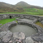 Enclosure in KnockanuhaEnclosure · 1.6 mi
Explorer Tom Enclosure in Knockanuha is only visible on an aerial photo, which means it’s playing hard to get with us. The whole…
 Fairy fort / earthen ringfort in Lomanagh (glanarought By.)Fairy fort / earthen ringfort · 1.9 mi
Explorer Tom In a job interview, this ringfort in Lomanagh would say it has strong leadership skills and excellent underground…
 Megalithic structure in Lomanagh (glanarought By.)Megalithic structure · 1.9 mi
Explorer Tom Megalithic structure in Lomanagh is playing hide-and-seek with the wind, which keeps pushing that giant square stone…
 Battle of CallannBattle · 3.0 mi
Explorer Tom Battle of Callan in Kerry suspects the postman is spying on its grave marker. Donal fell here, so it’s got a lot of…
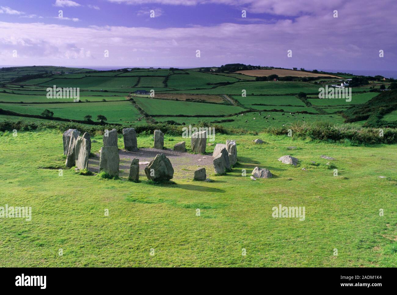 Standing stone in DerreencolligStanding stone · 3.7 mi
Explorer Tom Standing stone in Derreencollig sits in a commanding position overlooking the river valley, probably judging everyone…
 European ash3.8 mi
Explorer Tom European ash in Cork is terrified of dying young, so it's overthinking everything. If it won the lotto, it would buy a…
 Aireagal Naomh Finbarr [Saint Finbarr's Oratory]Church/chapel · 3.8 mi
Explorer Tom Aireagal Naomh Finbarr is on a tiny island at the source of the River Lee. Built in 1903, it’s very Celtic Revival and…
 Gougane BarraValley and heritage place · 3.9 mi
Explorer Tom I came to Gougane Barra for a quiet minute. Cork laid out an entire valley. Gougane Barra manages to squeeze a lake, an…
 St. Peters ChurchChurch · 4.1 mi
Explorer Tom St. Peters Church has been hiding a scandal involving a priest, a goat, and a very expensive hat for centuries. The…
Enclosure in GearhanagoulEnclosure · 6.0 miExplorer Tom A single pigeon refuses to leave this spot in Gearhanagoul, claiming it has the best acoustic properties in County…
More archaeology and monuments in County Kerry · All of County Kerry

What do you know about this place?Tap to add a comment or ask a question