What is recorded here
Situated on flat pasture in an upland area with nearby earthwork site (TN029-045) and enclosure sites (TN029-046, TN029-048) to the W. Not visible at ground level (Stout 1984, 40).
The above description is derived from 'The Archaeological Inventory of County Tipperary. Vol. 1 - North Tipperary' compiled by Jean Farrelly and Caimin O'Brien (Dublin: Stationery Office, 2002). In certain instances the entries have been revised and updated in the light of recent research.
Date of upload/revision: 22 September 2008
The monument record does not grant public access. Check the route and ask the landowner before entering private land.
- What survives
- Recorded monument
Places near here
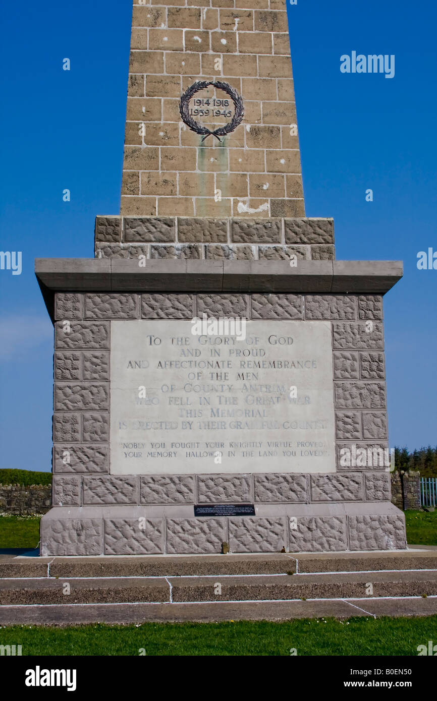 Enclosure in Knockagh (drom Par.)Enclosure · 749 yd
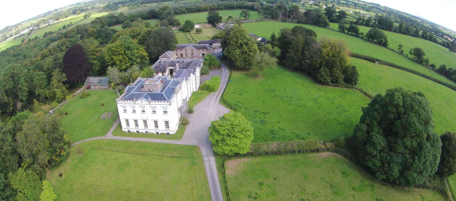 Enclosure in BallyheenEnclosure · 1148 yd
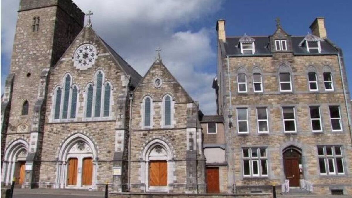 Church (in ruins)Church · 1168 yd
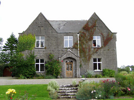 steward's housesteward's house · 1200 yd
 CastleCastle, unclassified · 1339 yd
 Barnane Ho.Castle, tower house · 1737 yd
 Morris's GroveForest · 1.5 mi
 Devil's Bit MountainMountain / peak · 2.3 mi
 Kilvilcorris BogForest · 2.4 mi
 GortagarryMountain / peak · 2.9 mi
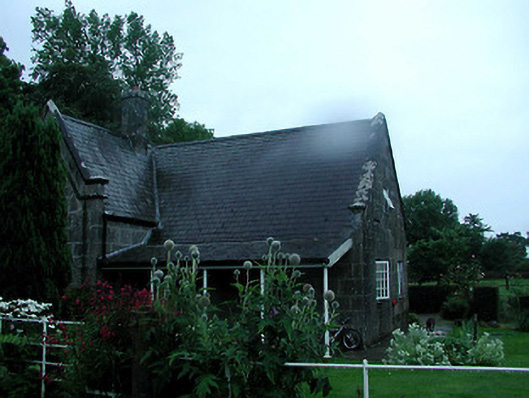 Barnane Housegate lodge · 1414 yd
 Fairy HillArchaeological place · 1448 yd