What is recorded here
Situated in undulating rough, boggy pasture. Not marked on any edition of the OS 6-inch map. Identified from an aerial photograph (GSI G109-10, Roll 157, print.32). Naturally-occurring, oval-shaped rise or small hillock (60.5m E-W; 54.5m N-S; H 1.6-1.8m) enclosed around its base by a low bank (Wth c. 2m; int. H 0.2m; ext. H 0.6-0.8m). The top of the enclosed rise, within the W half of the enclosure, comprises a relatively level roughly circular space (diam. 12m), possibly scarped on the E side. Within this level space, on the NW side, there is a circular pit (diam. c. 4m; D 0.8m), waterlogged in its base, and partly obscured by overgrowth.
Compiled by: Patrick F. O'Donovan
Date of upload: 19 January 2011
The monument record does not grant public access. Check the route and ask the landowner before entering private land.
- What survives
- Recorded monument
Places near here
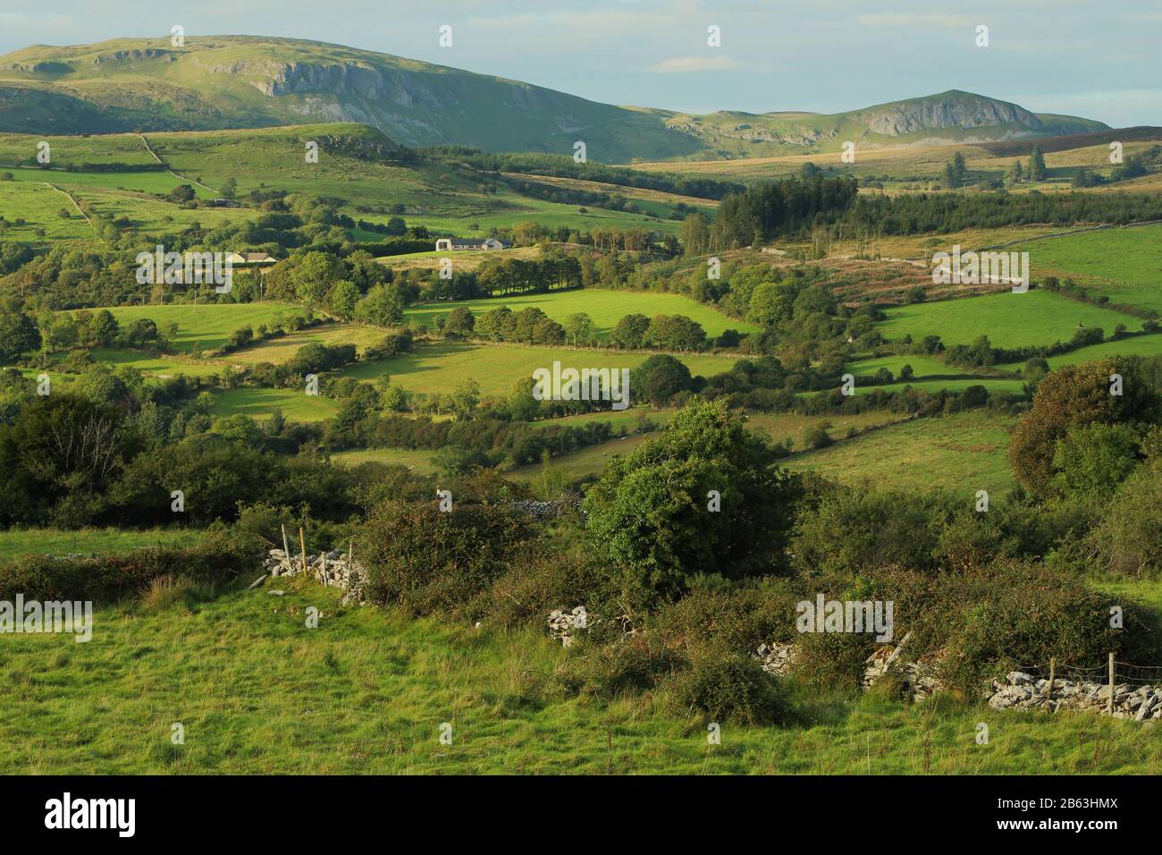 IndicatedEnclosure · 192 yd
 Fulacht fia in BarnacoghilFulacht fia · 225 yd
 CastleCastle, tower house · 1.2 mi
 Lady Margaret's TowerRuins · 1.6 mi
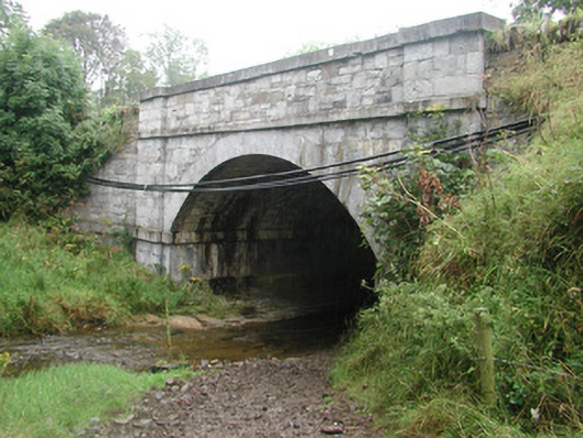 bridgebridge · 1.6 mi
 Site of Dunneill CastleCastle, unclassified · 2.6 mi
 Eamonn's TopMountain / peak · 3.0 mi
 Knockalongy South-West TopMountain / peak · 3.1 mi
 White RockNamed rock · 3.3 mi
 DonaghHeadland · 3.3 mi
 Aughris BeachBeach / strand · 4.5 mi
 Dunmoran StrandBeach / strand · 4.9 mi