
What is recorded here
Situated on a SW-facing slope. The parchmark in grass of a circular enclosure (diam. c. 45m N-S; c. 44m E-W) defined by a slight fosse or ditch (Wth c. 1m) is visible on Apple Maps (2018). It is cut by a relict ENE-WSW drain towards the edge at S, and the enclosure can also be seen faintly on OSI images (1995). It was first reported by Jean Charles Caillere, and it was also noted by Anthony Murphy.
See the attached enhanced image from Apple Maps
Compiled by: Michael Moore
Date of upload: 24 June 2021
A local fairy fort (ringfort/rath); wider significance not recorded.
The monument record does not grant public access. Check the route and ask the landowner before entering private land.
- What survives
- Recorded monument
Places near here
 BarabonaMountain / peak · 406 yd
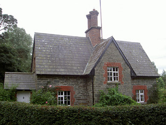 Monasterboice Housegate lodge · 570 yd
 Monasterboice Ho.House, medieval · 1102 yd
 Ecclesiastical enclosure in Monasterboice,newtown Monasterboice,timullenEcclesiastical enclosure · 1517 yd
 Holy well in MonasterboiceHoly well · 1519 yd
 Drummond TowerCastle · 1547 yd
 Monasterboice Round TowerHeritage attraction · 1547 yd
 Muiredach's High CrossHeritage attraction · 1553 yd
 Black HillMountain / peak · 1.5 mi
 Pedunculate OakPedunculate Oak · 1.7 mi
 CastleCastle, unclassified · 2.0 mi
 Quarry Garden WoodForest · 2.7 mi
Other information
Photo: Credit not shown in the picture search · Rights wording not checked; contact us if this picture should be removed