
What is recorded here
In grassland, in SE corner of a field, immediately N and W of a narrow stream. The townland boundary with Grange Upper lies 75m to NW. No archaeological monument depicted at this location on the 1838 OS 6-inch map. A raised oval-shaped area (approx. dims. 30m NW-SE x 26m NE-SW) delimited by field boundaries at SE is…
Read the whole record
From the National Monuments Service (Archaeological Survey of Ireland) record LI006-047
Places near here
Photo credits
- Maker not stated on source page, ca.pinterest.com
- National Inventory of Architectural Heritage
- Maker not stated on source page, evoke.ie
- Maker not stated on source page, www.gettyimages.co.nz
- Maker not stated on source page, www.flickr.com
- Maker not stated on source page, www.alamy.com
 CastleCastle, unclassified · 592 yd
Explorer Tom Castle in Ballyvarra has been stuck in a grudge with the weather since someone got killed there in the rebellion. The…
 Saint Patrick's Catholic ChurchChurch/chapel · 1482 yd
Explorer Tom Saint Patrick's Catholic Church in Biddyford is a rectangular barn that thinks it’s fancy. Built right when the Penal…
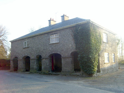 garda station/constabulary barracks1545 yd
Explorer Tom This Garda station in Biddyford would write 'seeks quiet life, no republicans' on its dating profile. It was built to…
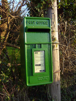 post box1696 yd
Explorer Tom Post box in Laghtane East is made of iron that traveled from Scotland for no reason. The whole village argued about who…
 Thornfield HouseCountry house · 1697 yd
Explorer Tom Thornfield House has a pillared portico that makes it look like it’s posing for a very serious Victorian portrait. It’s…
 Fairy fort / ringfort in ArdvarnaFairy fort / ringfort · 1.1 mi
Explorer Tom Fairy fort / ringfort in Ardvarna is actually a triangle pretending to be a circle to fit in with the crowd. A very…
 Killeenagariff BridgeBridge · 1.1 mi
Explorer Tom Killeenagariff Bridge in Killeenagarriff holds a fake world record for 'Most Arches Per Meter' which it calculated…
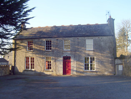 Raheen HouseHouse · 1.1 mi
Explorer Tom Raheen House in Raheen is a gentleman farmer’s dream that got a little too fancy with its chimney flue. Map makers got…
 Killeenagarriff CemeteryCemetery · 1.2 mi
Explorer Tom Killeenagarriff Cemetery in County Limerick is constantly complaining to the council about the moss growing on its…
 Killeenagarriff Church (in ruins)Church · 1.2 mi
Explorer Tom Killeenagarriff Church has a family tree that is mostly invented stories to sound impressive at dinner parties. It…
Fairy fort / earthen ringfort in BallynagowanFairy fort / earthen ringfort · 1.2 miExplorer Tom Fairy fort / earthen ringfort in Ballynagowan is hiding its light under a lidar bush. A goat once ruled it, charging…
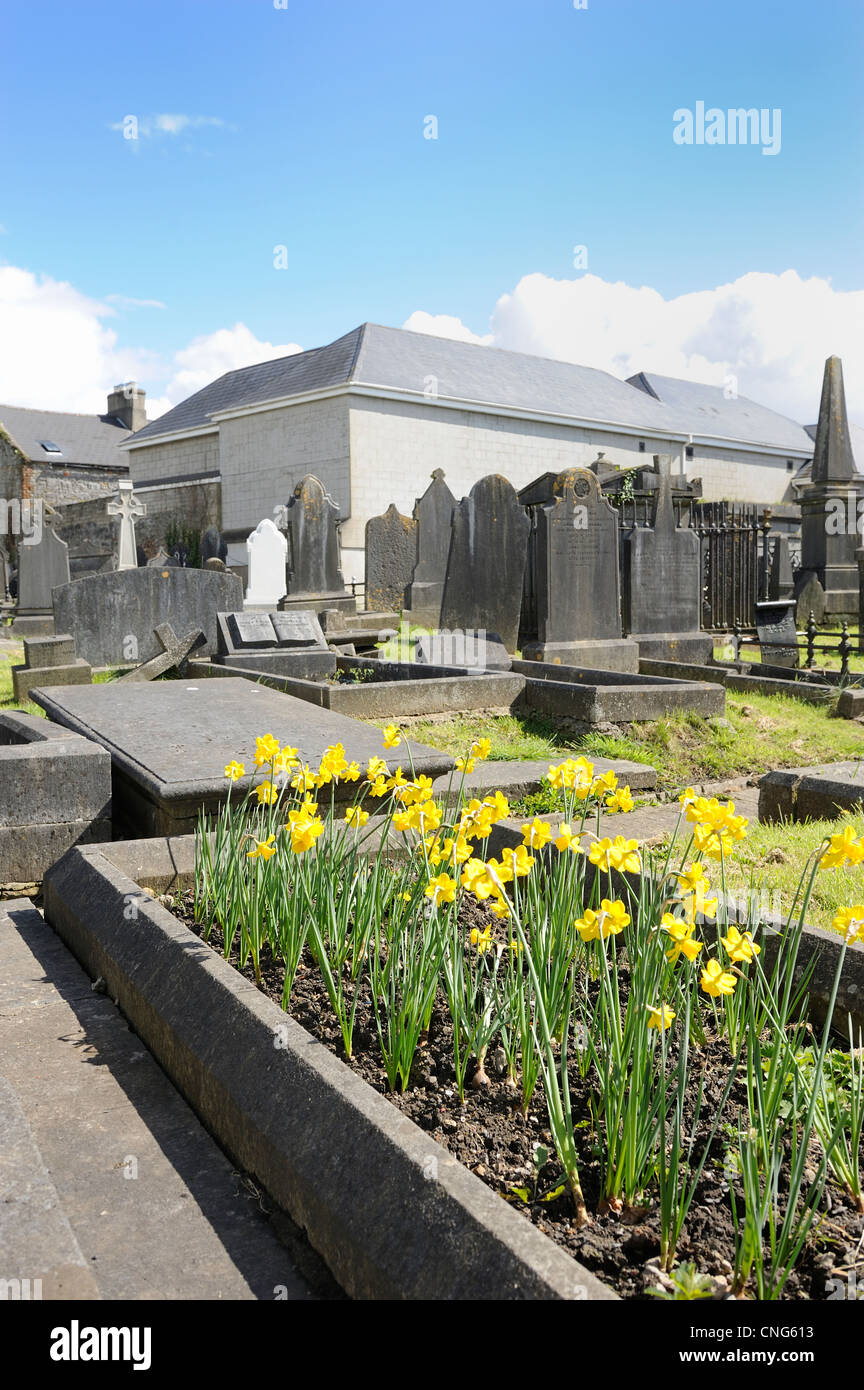 Clonkeen CemeteryGraveyard · 1.8 mi
Explorer Tom Clonkeen Cemetery’s first owner had an escape plan involving a tunnel to the river. It never quite worked out, but the…
More archaeology and monuments in County Limerick · All of County Limerick

What do you know about this place?Tap to add a comment or ask a question