What is recorded here
Ardvarna Fort stands on the highest point in flat Limerick pasture, half a kilometre from the Killeenagarriff River. It appeared circular in 1840, measured sixty metres across, but became sub-triangular by 1897 after its eastern half was partly removed. The western curve still lives inside a field boundary, while the eastern side has surrendered to grass and forgetting.
In flat pasture 350m W of the Killeenagarriff River on the highest point in the surrounding flat landscape. Depicted on the 1840 ed. OS 6-inch map as a circular enclosure (dims. c. 60m in diam.). 'Ardvarna Fort' described in 1840 as following; 'This fort forms nearly a triangle, about 3 chains [60m] on the E., same on the W. and 2 chains [40m] on the N. (OSNB Killeenagarriff parish, 1106).
The 1897 OS 25-inch map indicates that the monument has been altered into a sub-triangular form (36m E-W and 60m N-S) suggesting that the E half of the monument was partially removed in the latter half of the 19th century. No external fosse or ditch is evident on the Digital Globe orthophotos taken 2011-13 or on the Google Earth orthoimage taken 28/06/2018. The W side of the monument survives in the curving field boundary. The interior and E side of the monument are within an open grassy field.
See attached Google Earth orthophoto
Compiled by: Edmond O’Donovan
Date of upload: 22 July 2020
A fairy fort or ringfort in Ardvarna is a circular early-medieval defensive or agricultural enclosure, likely dating to between the 5th and 10th centuries AD. It is associated with local folklore referring to it as a dwelling place of the "good people" or fairies, a common belief attached to such earthworks in Irish tradition.
The monument record does not grant public access. Check the route and ask the landowner before entering private land.
- What survives
- Recorded monument
Places near here
 Annagh Bridgebridge · 830 yd
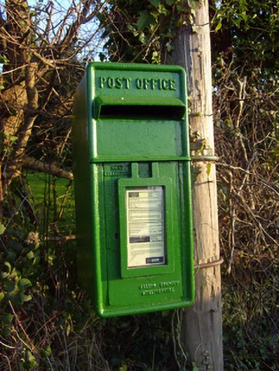 post boxpost box · 859 yd
 Grave YardGraveyard · 896 yd
 CastleCastle, unclassified · 1296 yd
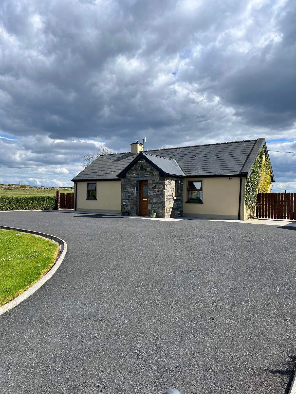 Partially hachuredFairy fort / earthen ringfort · 1.0 mi
 Graveyard in AbingtonGraveyard · 3.1 mi
 Sliev Felim WayVisitor information · 3.3 mi
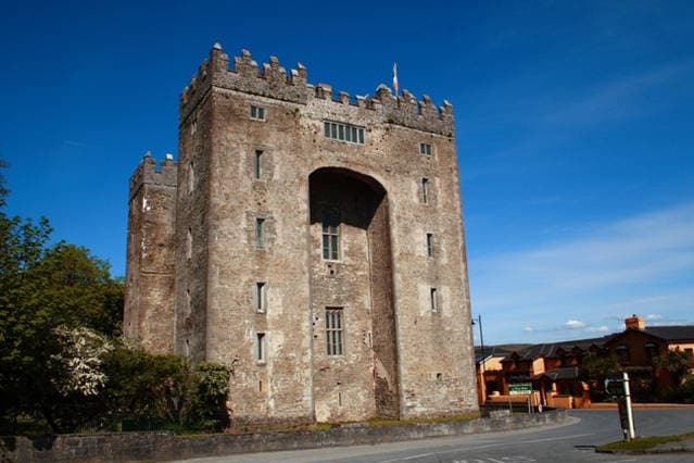 The Turret (in Ruins)Castle, unclassified · 3.3 mi
 Campus MapVisitor information · 4.1 mi
 Fountain SculptureHeritage attraction · 4.2 mi
 The Pollagh TrailNature reserve · 7.4 mi
 KnockseefinMountain / peak · 8.5 mi