What is recorded here
In improved pasture, on low rise of undulating land. No visible surface trace. Very slight depression near top of natural rise. Large amount of earth and rounded stones heaped up against field boundary to S, only along this stretch where monument was located. Depicted on 1905 OS 6-inch map as circular enclosure (diam. c. 40m) defined by bank. Earthwork (TS068-048001-) SE-W-NE defines exterior of bank and continues to E beyond monument. Enclosure (TS068-047----) is c. 175m to N.
Compiled by: Jean Farrelly
Date of upload: 26 August 2011
The monument record does not grant public access. Check the route and ask the landowner before entering private land.
- What survives
- Recorded monument
Places near here
 Suircastle Househouse · 480 yd
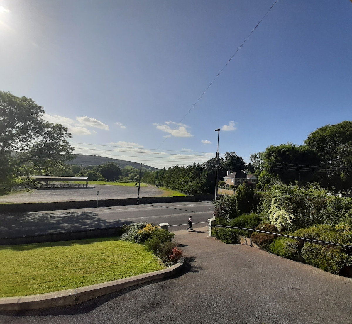 Enclosure in Lagganstown UpperEnclosure · 851 yd
 Site of ChurchChurch · 954 yd
 CastleCastle, unclassified · 1049 yd
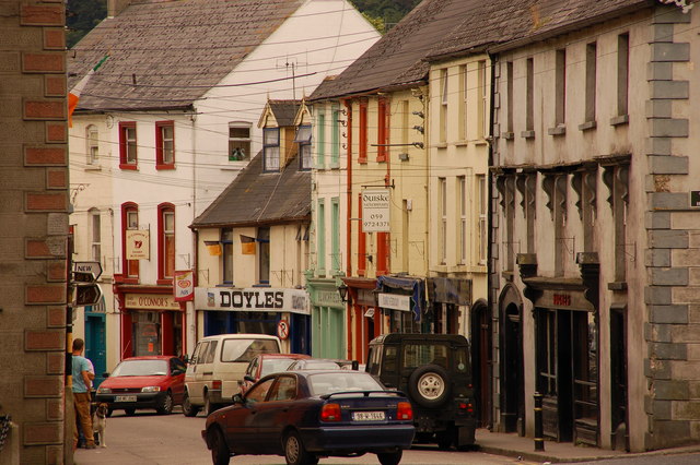 Bawn in Lagganstown UpperBawn · 1214 yd
 New Bridgebridge · 1257 yd
 Athassel PrioryHeritage attraction · 1.1 mi
 Caucasian zelkovaCaucasian zelkova · 3.6 mi
 Cappa WoodWood · 4.2 mi
 SturrakeenMountain / peak · 5.9 mi
 Laghtshanaquilla North-East TopMountain / peak · 6.5 mi
 The RockViewpoint · 7.6 mi