What is recorded here
Cropmark of circular-shaped enclosure (approx. diam. 20m) visible on Google earth aerial imagery taken 07/05/2017. See attached image of Google Earth photograph taken 07/05/2017
Compiled by: Caimin O'Brien based on details provided by Colin Flynn
Date of upload: 6 March 2020
From the National Monuments Service (Archaeological Survey of Ireland) record KD011-070
The monument record does not grant public access. Check the route and ask the landowner before entering private land.
- What survives
- Recorded monument
Places near here
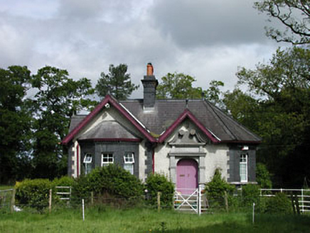 Stacumny HouseGate lodge · 951 ydEnclosure in LoughlinstownEnclosure · 1305 yd
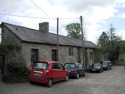 kennels1546 ydCastleCastle, unclassified · 1572 yd
 Castletown HouseHeritage attraction · 1593 yd
 Common Lime1617 ydArthur GuinessMemorial · 1675 yd
 Oriental plane1.2 mi
 The Wonderful BarnHeritage attraction · 1.4 mi
 Grand Canal WayWalking route · 1.6 mi
 Leixlip CastleCastle · 1.8 mi
 St. Catherines WellsHoly well · 2.5 mi
Pictures: National Inventory of Architectural Heritage; DiggingSpace, Wikimedia Commons · CC BY-SA 4.0; Alvesgaspar, Wikimedia Commons · CC BY-SA 3.0; Superchilum, Wikimedia Commons · CC BY-SA 4.0; Edge977, Wikimedia Commons · CC BY-SA 3.0; JP, Geograph · CC BY-SA 2.0; Leimanbhradain, Wikimedia Commons · CC BY-SA 4.0; Gdonlon, Wikimedia Commons · CC BY-SA 4.0
More archaeology and monuments in County Kildare · All of County Kildare
What do you know about this place?