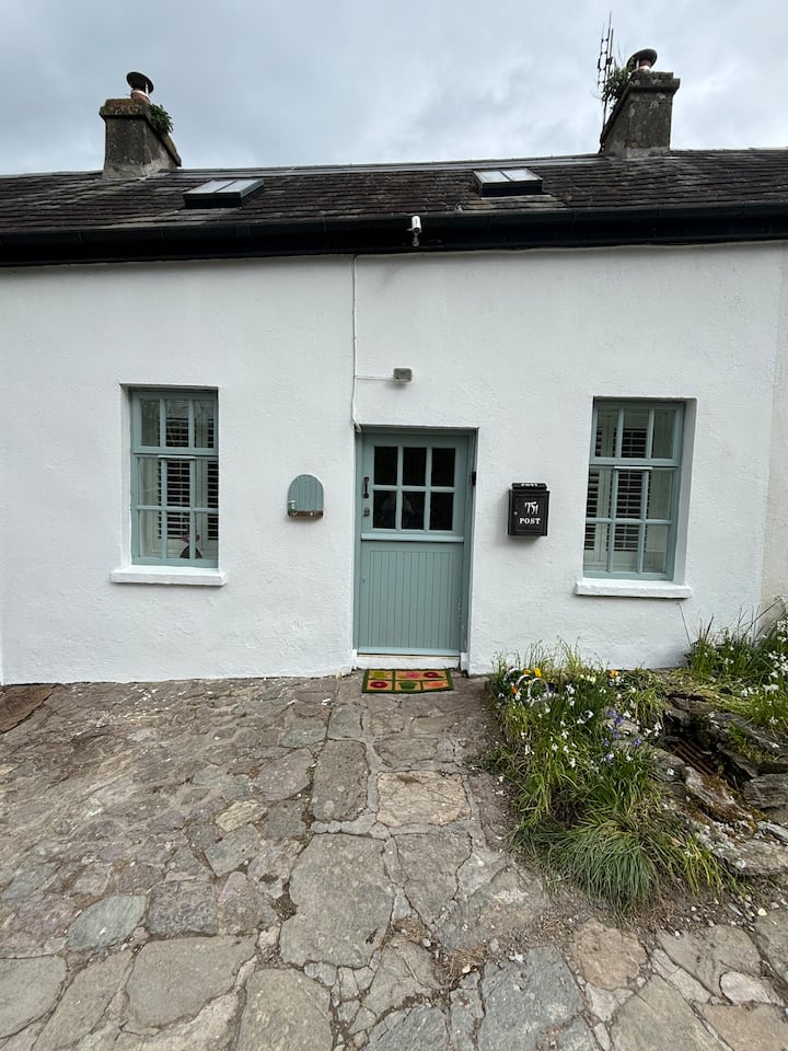
What is recorded here
Cropmark (CUCAP, ASZ 88) shows arc (S->E) of possible circular enclosure (diam. c. 46m E-W), truncated by farm yard to SE.
The above description is derived from the published 'Archaeological Inventory of County Cork. Volume 2: East and South Cork' (Dublin: Stationery Office, 1994). In certain instances the entries have been revised and updated in the light of recent research.
Date of upload/revision: 14 January 2009
A local fairy fort (ringfort/rath); wider significance not recorded.
The monument record does not grant public access. Check the route and ask the landowner before entering private land.
- What survives
- Recorded monument
Places near here
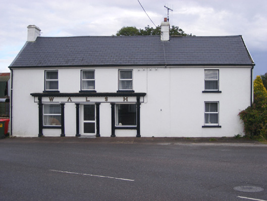 Walshhouse · 1386 yd
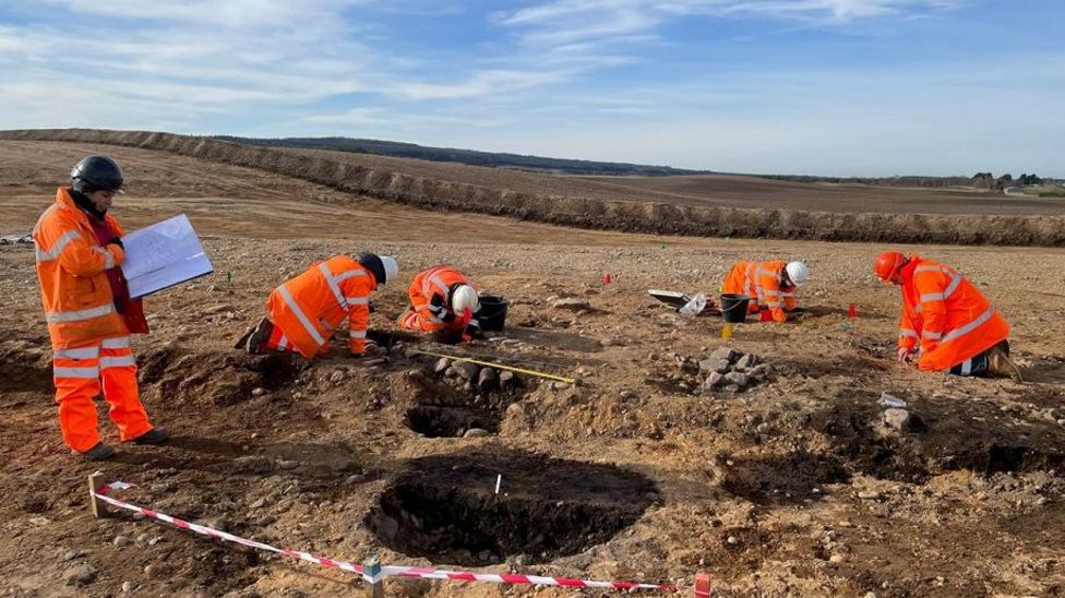 Metalworking site in AghadaMetalworking site · 1424 yd
 St Marys Catholic ChurchChurch · 1509 yd
 Graveyard in AghadaGraveyard · 1709 yd
 Enclosure in ArdnabourkeyEnclosure · 1714 yd
 CastleCastle, unclassified · 1.0 mi
 Whitegate War MemorialMemorial · 1.3 mi
 US Naval Air Station USNAS QueenstownHeritage attraction · 1.4 mi
 Long OrchardWood · 1.5 mi
 (Site of) CastleCastle, unclassified · 1.8 mi
 Long PointHeadland · 1.8 mi
 Trabolgan Holiday VillageHeritage attraction · 2.4 mi
Other information
Photo: Credit not shown in the picture search · Rights wording not checked; contact us if this picture should be removed