What is recorded here
In improved pasture, on a NNW-facing slope. Excellent views WSW-NE. Remains of levelled circular area (diam. 26m) defined by remains of shallow fosse (Wth 2.85m; D 0.15m) NE-S-NW. Dead nettles accentuate fosse ENE-S-WNW. Scarp (Wth 1.85m; H 0.25m) defines monument on downslope NW-N-NE. Interior has been levelled out and slopes downwards to NNW with prevalent slope. Enclosure (TS066-108----) is c. 30m to NW and enclosure (TS066-110----) is c. 60m to E.
Compiled by: Jean Farrelly
Date of upload: 26 August 2011
The monument record does not grant public access. Check the route and ask the landowner before entering private land.
- What survives
- Recorded monument
Places near here
 MoatCastle, motte · 1225 yd
 Site of Bruis ChurchChurch · 1289 yd
 Mount Bruishouse · 1354 yd
 CastleCastle, ringwork · 1407 yd
 Enclosure in Ballynagleragh,toor (bruis Par.)Enclosure · 1555 yd
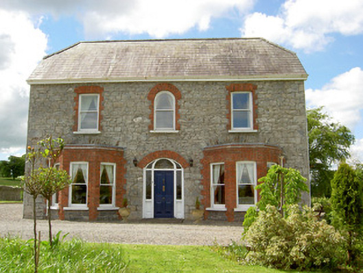 Saint Joseph'shouse · 1726 yd
 SlievenamuckMountain / peak · 1.7 mi
 Bansha ForestForest · 2.5 mi
 Knockanebrack HillMountain / peak · 3.7 mi
 Glen of AherlowViewpoint · 3.8 mi
 Carn (site of)Cairn, burial cairn · 3.8 mi
 Christ the KingViewpoint · 3.9 mi