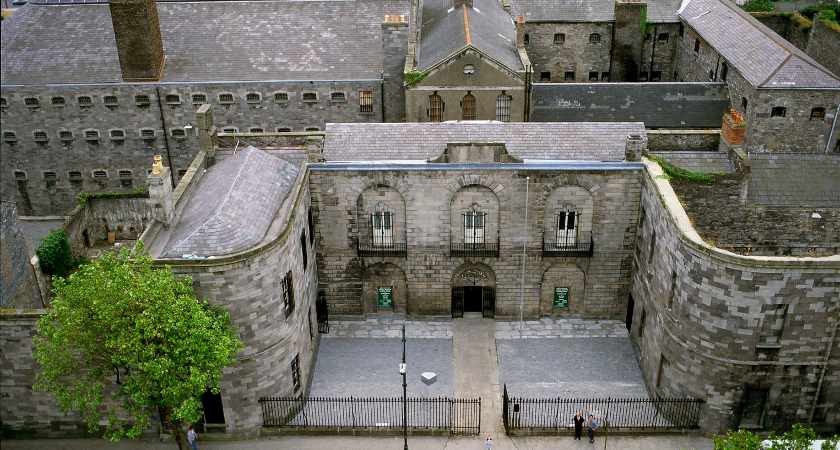
What is recorded here
Situated in upland pasture on ground that falls away to the Dodder valley in the E. An enclosure noted on an aerial photograph (BKS 2776056/7) taken in 1978. It shows cropmark evidence for a roughly oval univallate enclosure (max. dims. N-S c. 40m; E-W c. 30m). Not visible at ground level.
Compiled by: Geraldine Stout and Padraig Clancy
Revised upload on: 7 July 2018
A local fairy fort (ringfort/rath); wider significance not recorded.
The monument record does not grant public access. Check the route and ask the landowner before entering private land.
- What survives
- Recorded monument
Places near here
 Graveyard in BallymanaGraveyard · 875 yd
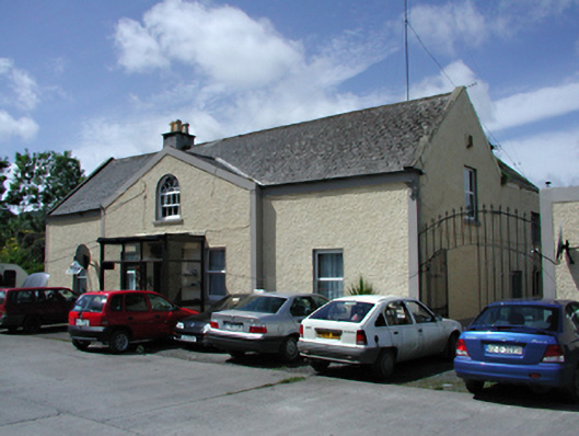 Marlfield Housefarm house · 1017 yd
 Enclosure in KillinardanEnclosure · 1243 yd
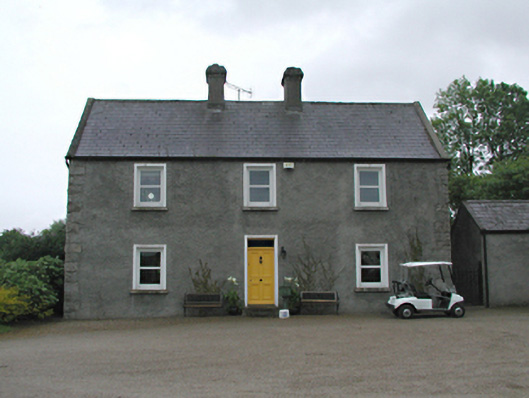 Hawthornfarm house · 1348 yd
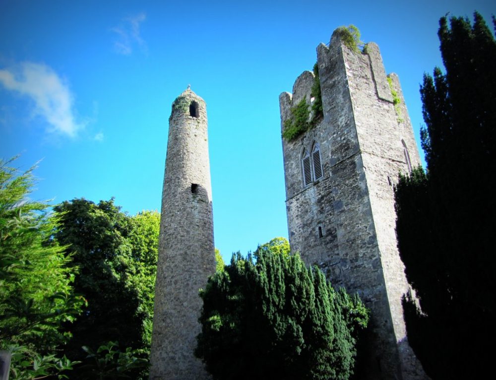 Mound in KillinardanMound · 1420 yd
 SlievenabawnogeMountain / peak · 1.2 mi
 Ballinascorney WoodForest · 1.2 mi
 KnackannaveaMountain / peak · 1.5 mi
 Sean Walsh ParkVisitor information · 1.5 mi
 Waterfall viewing pointHeritage attraction · 1.6 mi
 Carty's CastleRuins · 1.7 mi
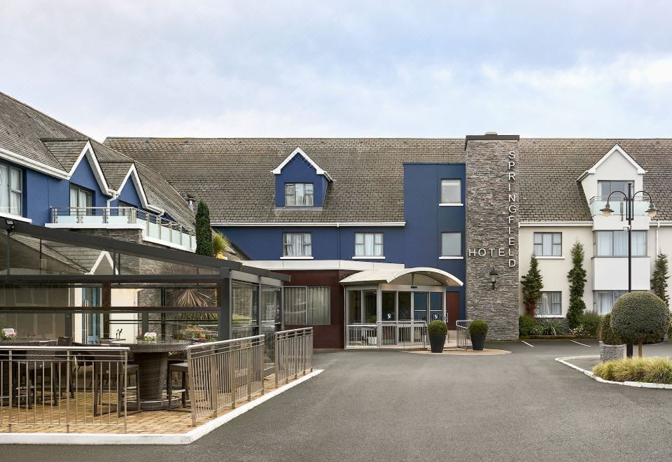 SpringfieldNamed rock · 1.7 mi
Other information
Photo: Credit not shown in the picture search · Rights wording not checked; contact us if this picture should be removed