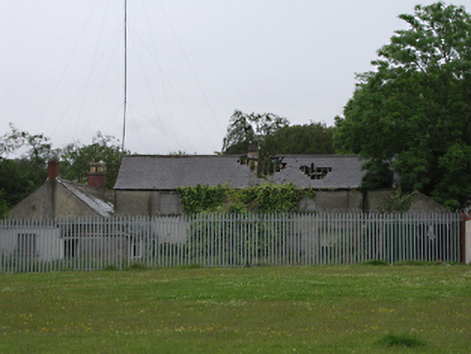
What is recorded here
Detached single- and two-storey former farm house and outbuildings, c.1835, on a U-plan around yard. Now derelict. L-plan dwelling comprising two-storey northern section with gabled porch, and single-storey eastern section. Roughcast rendered walls, square-headed openings and pitched slate roofs throughout, eastern section having red brick chimney stacks. Detached single-storey outbuilding to south with coursed rubble stone walls, partly roughcast rendered, and pitched slate roof. Tubular steel gate to entrance, now blocked.
This group demonstrates the development of an original vernacular cottage to a prosperous farm estate, and contrasts with the humbler dwellings in the hills to the south. The old trees are a valuable addition to the modern housing estate.
From the Buildings of Ireland (National Inventory of Architectural Heritage) record 11220001
This does not grant access. Most recorded buildings are privately owned; view them only from public ground unless the owner allows entry.
Places near here
Photo credits
- National Inventory of Architectural Heritage
- 瑞丽江的河水, Wikimedia Commons · CC BY-SA 4.0
- Syncretists, Wikimedia Commons · CC BY-SA 4.0
- Joe King, Wikimedia Commons · CC BY-SA 3.0
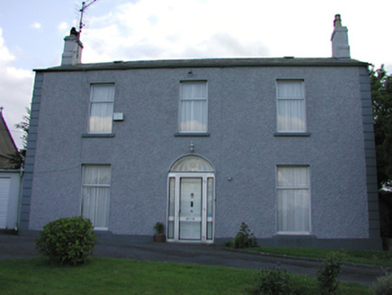 Saint Anne's Catholic ChurchPresbytery/parochial/curate's house · 485 yd
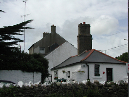 Glenville HouseFarm house · 513 ydWaterfall viewing pointHeritage attraction · 1369 ydSean Walsh ParkVisitor information · 1.0 miGraveyard in BallymanaGraveyard · 1.1 miJim Lawlor Bridge PlaqueVisitor information · 1.2 miCarty's CastleRuins · 1.3 miSpringfieldNamed rock · 1.3 miGary Miller MemorialMemorial · 1.4 mi
 Font in TallaghtFont · 1.5 mi
_-_20180125125204.jpg/250px-County_Dublin_-_St_Colmcille's_Well_(Oldcourt)_-_20180125125204.jpg "Photo: Syncretists, Wikimedia Commons · CC BY-SA 4.0") St Columkilles WellHoly well · 1.6 mi
St Columkilles WellHoly well · 1.6 mi Montpelier HillMountain / peak · 1.8 mi
More historic places in County Dublin · All of County Dublin
What do you know about this place?