What is recorded here
Situated on a rise in rolling pasture with good views in all directions. Sub-oval area (45m N-S; 32.5m E-W) enclosed by a bank of earth-and-stone (ext. H 1.3m; Wth 1m; int. H 0.5m). There are three gaps in the bank, one at N (Wth 0.7m), one at NW (Wth 1m), and one at SW (Wth 1m). The interior surface is uneven and slopes down gently from the centre. The morphology of this enclosure indicates that it may be Bronze Age in date (Doody 2008, 129).
Compiled by: Denis Power
Date of upload: 24 June 2013
A local fairy fort (ringfort/rath); wider significance not recorded.
The monument record does not grant public access. Check the route and ask the landowner before entering private land.
- What survives
- Recorded monument
Places near here
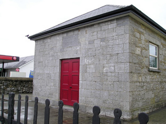 Ballyneety Courthousecourt house · 432 yd
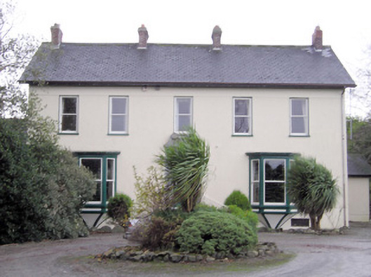 Ballymacreese Househouse · 491 yd
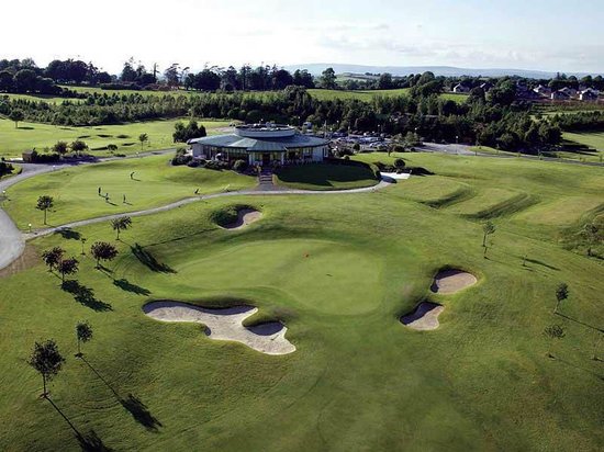 Ballyneety Castle (Site of)Castle, unclassified · 881 yd
 IndicatedBarrow, unclassified · 1648 yd
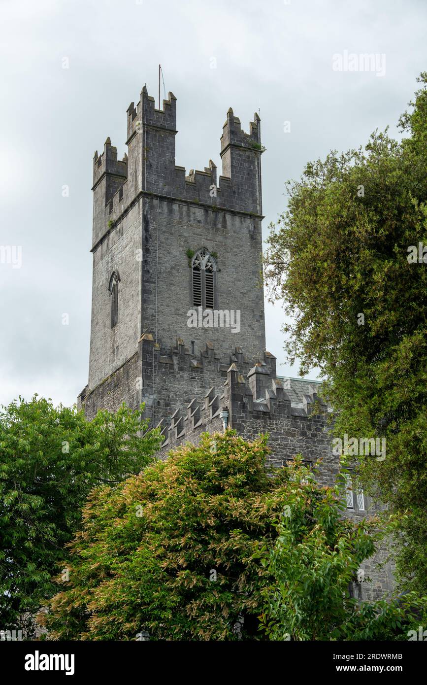 CairnCairn, unclassified · 1735 yd
 Bawn in Ludden MoreBawn · 1.0 mi
 Wych ElmWych Elm · 1.1 mi
 ToberauillinSpring · 1.6 mi
 St Lawrence's WellSpring · 1.8 mi
 Graveyard in AbingtonGraveyard · 5.9 mi
 Saint John Paul IIMemorial · 5.9 mi
 Kilteely HillMountain / peak · 7.9 mi