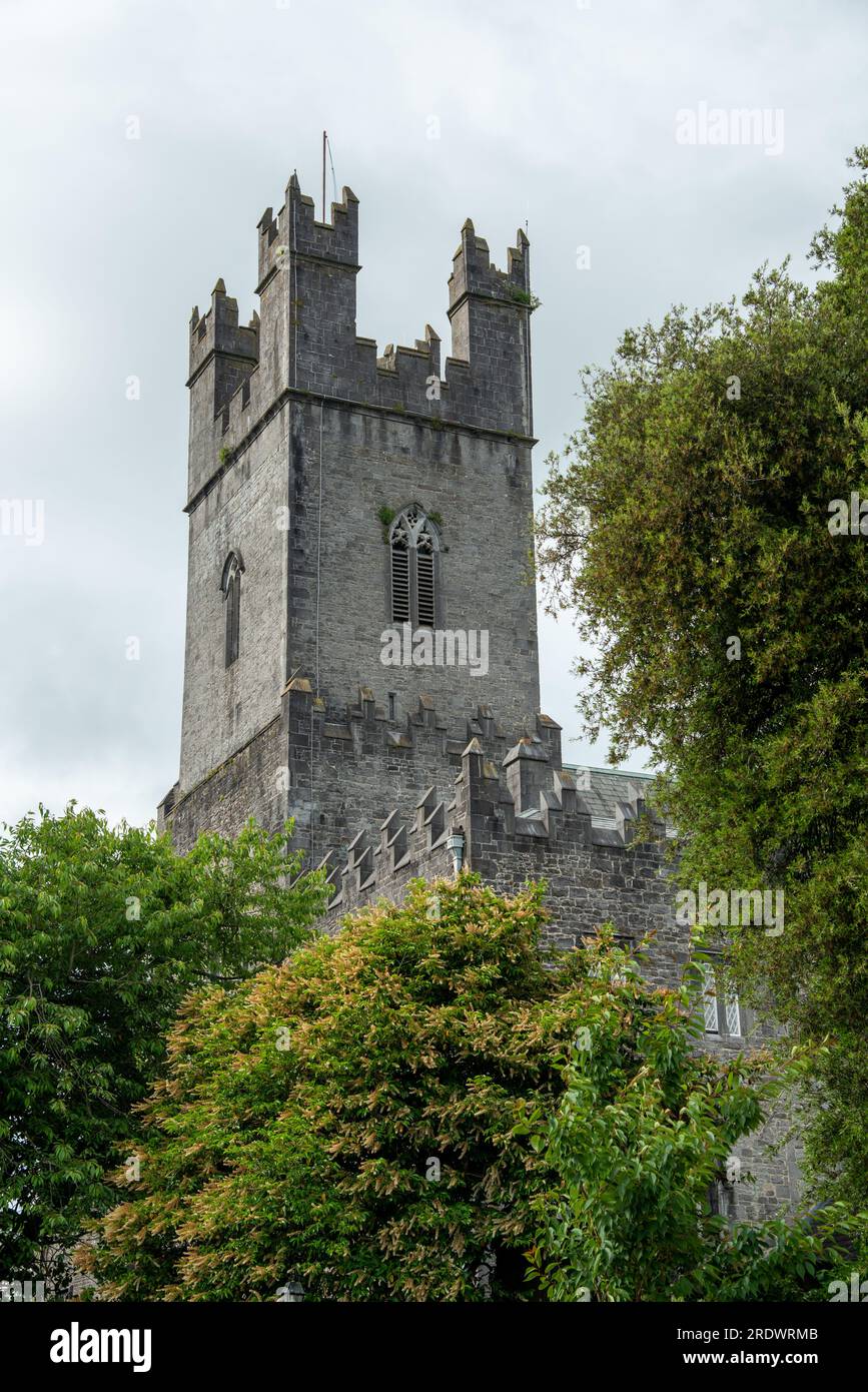
What is recorded here
Situated on the SE-facing slope of a steep hill in rolling pasture c. 20m N of a field boundary and 20m S of a small limestone quarry. There are good views to NE, E and SE. Sub-circular area (diam. 8.5m) defined by a gentle scarp (Wth. 1.9m; D 0.5m). Several stones are visible in the scarp and in the centre of the site. The mound is uneven, and is partly denuded.
The monument record does not grant public access. Check the route and ask the landowner before entering private land.
- What survives
- Recorded monument
Places near here
 Not indicated, 394 ft. ODSettlement cluster · 190 yd
 Burial ground in KnockeaBurial ground · 201 yd
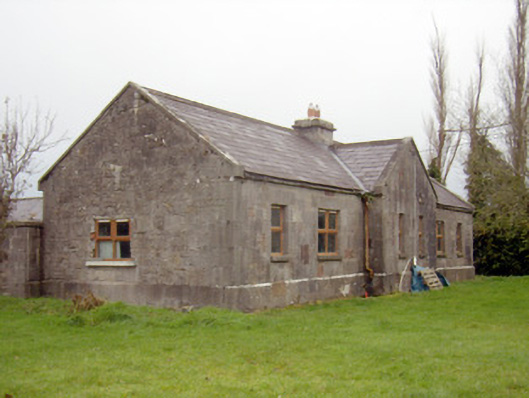 outbuilding, stablesoutbuilding, stables · 592 yd
 Edwardstown Housecountry house · 680 yd
 Ballynagarde Ho.Castle, tower house · 1407 yd
 Ballyneety Castle (Site of)Castle, unclassified · 1735 yd
 ToberauillinSpring · 1.1 mi
 Carnane RockNamed rock · 2.1 mi
 Graveyard in AbingtonGraveyard · 6.7 mi
 St. Patrick's WellSpring · 8.5 mi
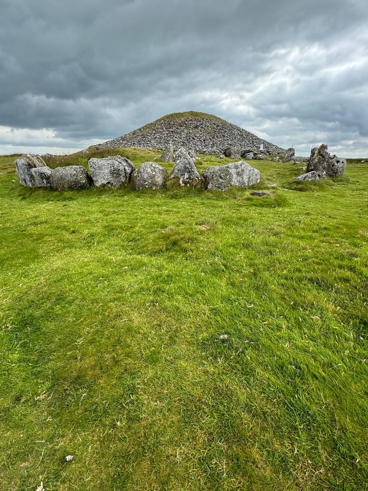 CairnCairn, unclassified · 219 yd
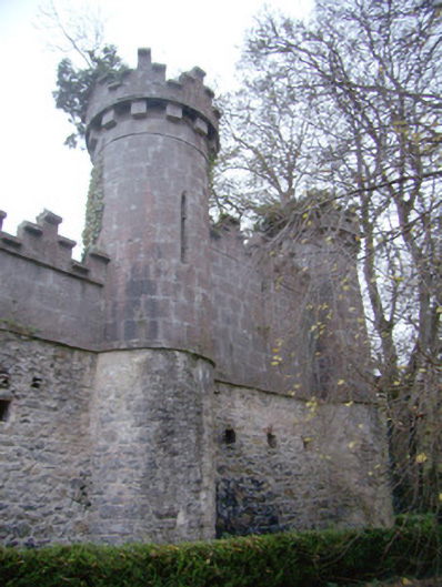 Glen Viewoutbuilding · 807 yd
Other information
Photo: Credit not shown in the picture search · Rights wording not checked; contact us if this picture should be removed