What is recorded here
Situated at the crest of a S-facing slope. A low subcircular earthwork enclosure (ext. dims c. 55m N-S; c. 48m E-W) that appears to be defined by a low earth bank (Wth c. 5-10m) is most clearly visible on Google Earth (03/04/2021) but can also be seen on Digital Globe (2011-13) and OSI images (2005). The monument is bisected by an ENE-WSW field bank, and it was first reported by Jean Charles Caillére. See the attached enhanced view from Google Earth (03/04/2021)
Compiled by: Michael Moore
Date of upload: 21 January 2022
From the National Monuments Service (Archaeological Survey of Ireland) record CV020-093
The monument record does not grant public access. Check the route and ask the landowner before entering private land.
- What survives
- Recorded monument
Places near here
Photo credits
- National Inventory of Architectural Heritage
- Peter Gerken, Geograph · CC BY-SA 2.0
- Algirdas at Lithuanian Wikipedia, Wikimedia Commons · Public domain
- Malene Thyssen, Wikimedia Commons · CC BY-SA 3.0
Town defences in Townparks (cavan Urban District),tullymongan Lower,tullymongan Upper,kinnypottle,lurganboy (upper Loughtee By.),abbey Land,drumavanagh,keadew (cavan Rural & Urban)Town defences · 866 ydEnclosure in Carrickane,tullyloughEnclosure · 1150 yd Loreto CollegeCountry house · 1244 ydbridge1580 ydRambling at Farnham EstateVisitor information · 1.1 miBawn in FarnhamBawn · 1.1 miPedunculate Oak1.5 miDuck IslandIsland · 1.5 miDerrygarra UpperMountain / peak · 1.6 miGiants GraveArchaeological place · 1.8 miDrumardMountain / peak · 2.0 miEuropean Beech2.4 mi
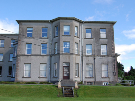 Loreto CollegeCountry house · 1244 yd
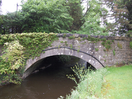 bridge1580 yd
 Rambling at Farnham EstateVisitor information · 1.1 miBawn in FarnhamBawn · 1.1 mi
 Pedunculate Oak1.5 miDuck IslandIsland · 1.5 miDerrygarra UpperMountain / peak · 1.6 miGiants GraveArchaeological place · 1.8 miDrumardMountain / peak · 2.0 mi
 European Beech2.4 mi
More archaeology and monuments in County Cavan · All of County Cavan
What do you know about this place?