
What is recorded here
Identified by Bernice Kelly on a Transport Infrastructure Ireland LiDAR survey carried out along the N76 road. A possible circular enclosure (diam. c. 40m), the E half of which is defined by the townland boundary between Ballymack (Desart) and Newtown (Baker) which appears to curve out to respect and possibly incorporate the E edge of the enclosure. On the 1st ed. OS 6-inch map a house is depicted within the enclosure in the NE quadrant with an avenue running NE-SW c. 30m southwest-ward from the house, terminating at a field boundary running NW-SE. The house and avenue are not depicted on the subsequent OS 6-inch map revision. An enclosure (KK023-067----) lies c. 300m to the SSW. The W portion has been levelled but the outline is faintly visible on the LiDAR image and on Digitalglobe satellite imagery (viewed 1 February 2021).
See attached:
KK023-172----_01 LiDAR image
KK023-172----_02 Digitalglobe satellite imagery (viewed 1 February 2021).
Compiled by: Jean Farrelly
Date of upload: 1 February 2021
The monument record does not grant public access. Check the route and ask the landowner before entering private land.
- What survives
- Recorded monument
Places near here
 Enclosure in Newtown (baker)Enclosure · 370 yd
 Enclosure in Tullamaine (ashbrook)Enclosure · 1118 yd
 Church in Tullamaine (ashbrook)Church · 1203 yd
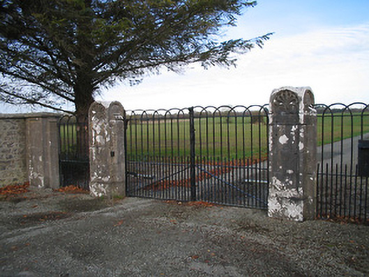 Kilcoran Housegates/railings/walls · 1732 yd
 CastleCastle, ringwork · 1.7 mi
 GreatwoodForest · 1.7 mi
 Burnchurch CastleVisitor information · 1.9 mi
 Pedunculate OakPedunculate Oak · 1.9 mi
 Bawn in Newtown (baker)Bawn · 1.9 mi
 Stop 7: Callan's Augustinian FriaryVisitor information · 2.5 mi
 Mill IslandIslet · 2.5 mi
 Margaret RyanMemorial · 2.5 mi
Other information
Photo: Credit not shown in the picture search · Rights wording not checked; contact us if this picture should be removed