
What is recorded here
In a river valley, c. 80m E of a meandering stream called the Craosóg (O’Kelly 1969, 192). The OS Letters (1839) mention, ‘a large and much frequented burying ground here’ (O’Flanagan 1930, vol. 2, 55-6 (19)). According to Carrigan (1905, vol. 3, 321), the ancient parish of Tullamaine, consisting of Tullamaine and Knockrea townlands, was united to the Rectory of Callan before 1300 and the parish church, ‘dedicated to St. Catherine, Virgin and Martyr, (Nov. 25th), stood on the breast of the fertile rising ground of Tullamaine, where it slopes to the south-west. Every vestige of it has disappeared’. The church is not indicated on the 1st (1839) or revised 1899-1900 ed. of the OS 6-inch map. It is likely that the church was located within or close to the graveyard (KK022-027002-) indicated on the 1st (1839) ed. OS 6-inch map.
Compiled by: Jean Farrelly
Date of upload: 25 May 2021
The church in Tullamaine (Ashbrook) was likely built in the early medieval period, probably by a local monastic or ecclesiastical community. It is situated in a river valley and is associated with a significant burial ground, indicating its religious and communal importance in the region.
The monument record does not grant public access. Check the route and ask the landowner before entering private land.
- What survives
- Recorded monument
Places near here
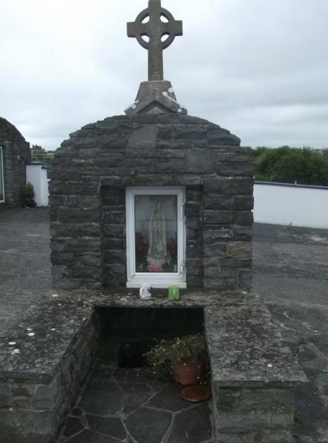 Holy WellHoly well · 325 yd
 Enclosure in Tullamaine (ashbrook)Enclosure · 758 yd
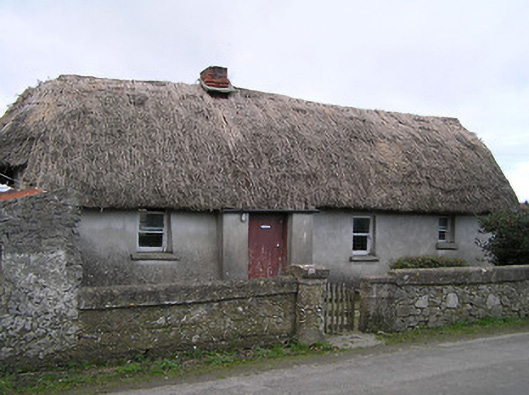 Dixon's Cottagefarm house · 1.0 mi
 CastleCastle, ringwork · 1.0 mi
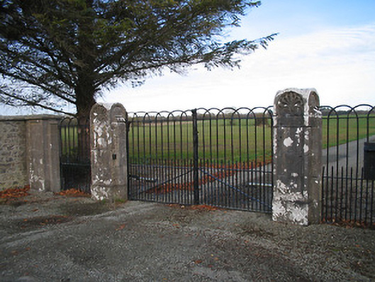 Kilcoran Housegates/railings/walls · 1.3 mi
 Pedunculate OakPedunculate Oak · 1.4 mi
 GreatwoodForest · 1.5 mi
 Stop 7: Callan's Augustinian FriaryVisitor information · 1.9 mi
 Margaret RyanMemorial · 1.9 mi
 The MotteVisitor information · 2.0 mi
 Edmund Rice Heritage CentreMuseum · 2.0 mi
 TowerHouse, fortified house · 2.1 mi
Other information
Photo: Credit not shown in the picture search · Rights wording not checked; contact us if this picture should be removed