
What is recorded here
Overgrown with trees and scrub, in pasture. A circular enclosure (diam. c. 56m) indicated on the 1st (1839) ed. OS 6-inch map and 1947 revision. A S-flowing stream runs along the W-SW perimeter and there are a number of small ponds indicated on the OS maps in the vicinity.
Compiled by: Jean Farrelly
Date of upload: 23 August 2021
The monument record does not grant public access. Check the route and ask the landowner before entering private land.
- What survives
- Recorded monument
Places near here
 Enclosure in Ballymack (desart),newtown (baker)Enclosure · 370 yd
 Church in Tullamaine (ashbrook)Church · 1072 yd
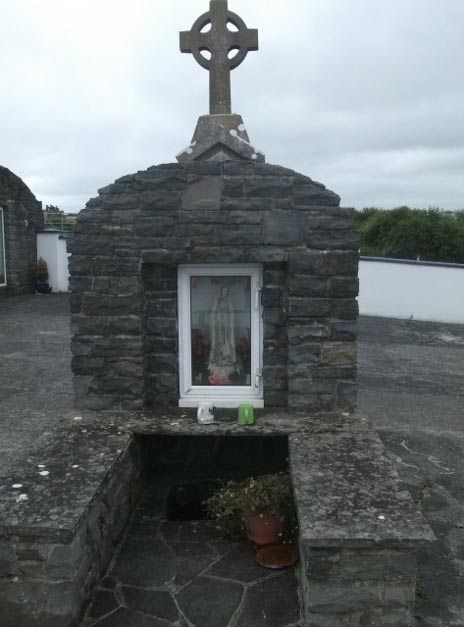 Holy WellHoly well · 1175 yd
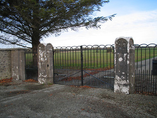 Kilcoran Housegates/railings/walls · 1498 yd
 CastleCastle, ringwork · 1.5 mi
 TowerHouse, fortified house · 1.7 mi
 GreatwoodForest · 1.8 mi
 Pedunculate OakPedunculate Oak · 1.9 mi
 Burnchurch CastleVisitor information · 2.0 mi
 Mill IslandIslet · 2.3 mi
 Stop 7: Callan's Augustinian FriaryVisitor information · 2.3 mi
 Margaret RyanMemorial · 2.4 mi
Other information
Photo: Credit not shown in the picture search · Rights wording not checked; contact us if this picture should be removed