What is recorded here
In pasture, on a S-facing slope. No visible surface trace. Depicted as an oval area on the 1st (1840) and 2nd (1952-4) ed. OS 6-inch map (map dims. c. 54m N-S; c. 48m E-W). A sketch plan and sections were drawn in 1954 depicting an oval monument with a dished interior enclosed by a bank from SE-S-SW and elsewhere defined by a scarp falling to the interior (OS Field Memorandums). According to Cahill (1982, DR 39), this enclosure was levelled c. 1975/76. Ground generally uneven across this area due to rock outcropping and quarrying in antiquity. A limekiln is located c. 100m to the NNW.
Compiled by: Jean Farrelly
Date of upload: 26 August 2011
The monument record does not grant public access. Check the route and ask the landowner before entering private land.
- What survives
- Recorded monument
Places near here
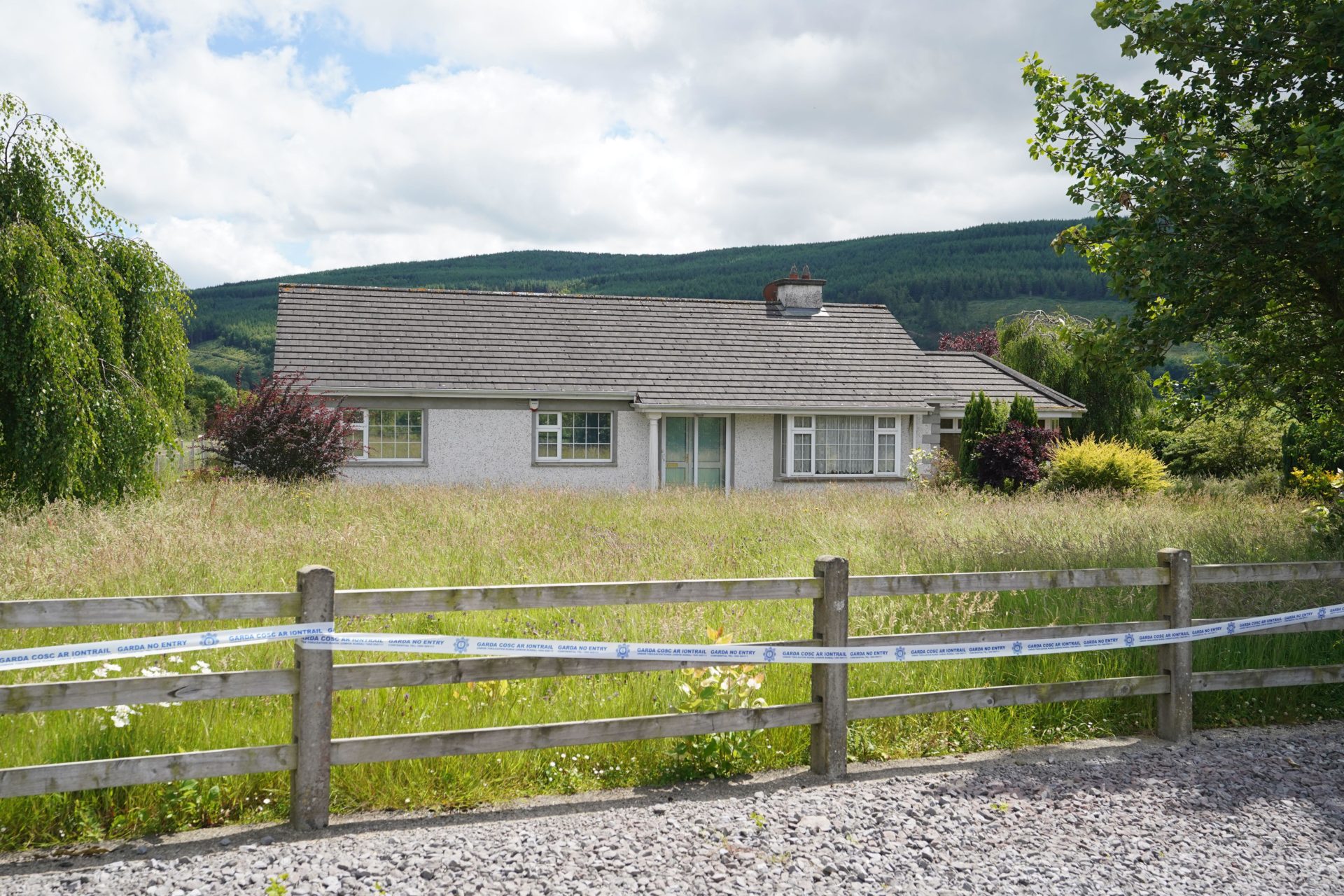 Enclosure in BallyherberryEnclosure · 349 yd
 The GarrisonCastle, tower house · 613 yd
 Kill Church (in ruins)Church · 1009 yd
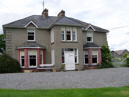 Rathmorehouse · 1088 yd
 Enclosure in Rathclogh SouthEnclosure · 1118 yd
 Meldrum Castle (ruins)Castle · 1642 yd
 Taylor's WoodWood · 2.1 mi
 Ballinure HillMountain / peak · 2.1 mi
 Ballyknock HillMountain / peak · 2.7 mi
 Noan WoodWood · 2.8 mi
 Cashel Folk MusuemMuseum · 3.6 mi
 The Rock Of CashelVisitor information · 3.7 mi