What is recorded here
In undulating pasture, on NE-facing slope. Monument, depicted on 1923 OS 6-inch map as embanked circular enclosure (diam. c. 30m) clipped on W side by N-S field boundary, has been levelled. This field boundary has now been removed. Enclosure is still perceptible as roughly rectangular area (24.2m N-S; 27.7m E-W) enclosed by low rise (int. H 0.25m; ext. H 0.25m; Wth 3.5m) with external fosse (Wt. 3m; D 0.2m). NW->NW and SE->SW. Level interior under pasture.
Compiled by: Denis Power
Date of upload: 26 August 2011
The monument record does not grant public access. Check the route and ask the landowner before entering private land.
- What survives
- Recorded monument
Places near here
 Enclosure in Killeany MoreEnclosure · 612 yd
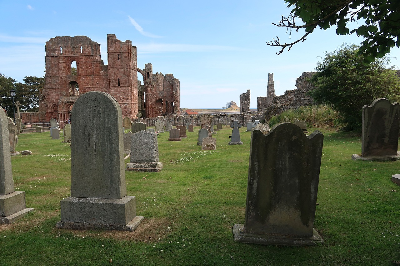 Grave YardGraveyard · 714 yd
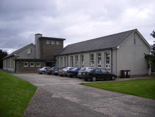 Saint Fergus's National Schoolschool · 1343 yd
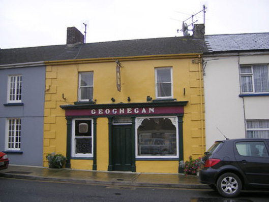 Geogheganhouse · 1542 yd
 Bawn in Killacolla (barker)Bawn · 1720 yd
 Castle (Site of)Castle, unclassified · 1.8 mi
 Prospect HillMountain / peak · 1.8 mi
 TobercloonaghSpring · 1.9 mi
 Mountshannon WoodWood · 2.7 mi
 Mountshannon PointHeadland · 2.9 mi
 Killanna PointHeadland · 3.7 mi
 Mountshannon EstateHeritage attraction · 3.9 mi