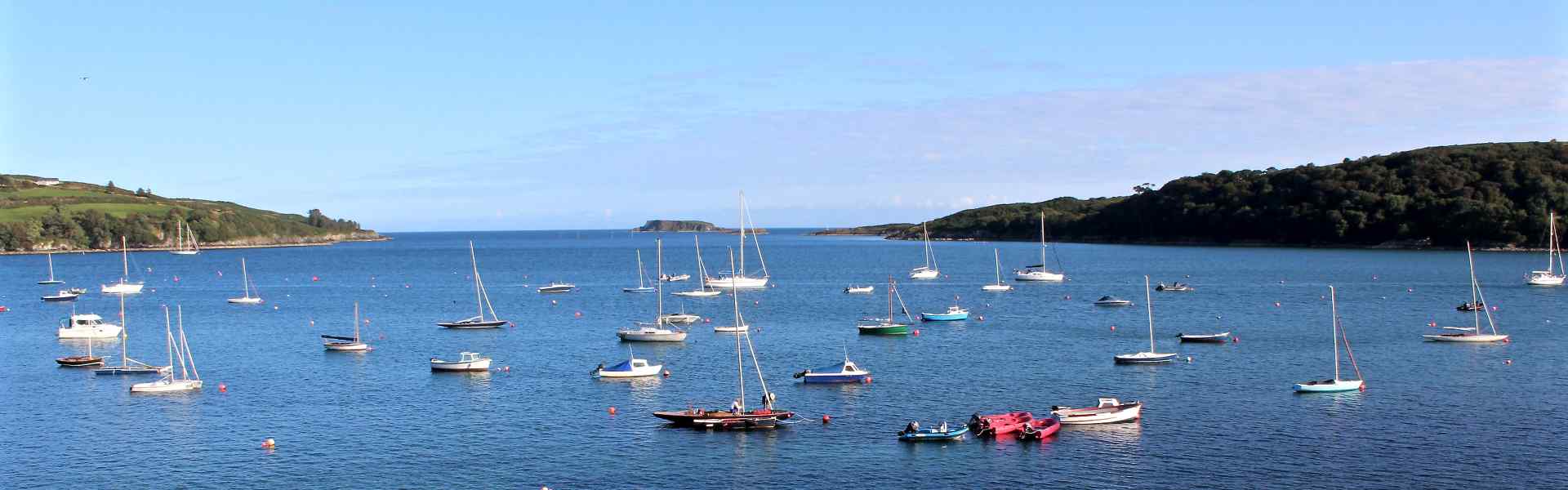
What is recorded here
Cropmark (GSI, W262) shows bivallate circular enclosure, with very narrow outer bank and fosse. Crossed by field fence to NW. Possibly 'levelled lios' referred to by O'Leary (1918, 162).
The above description is derived from the published 'Archaeological Inventory of County Cork. Volume 2: East and South Cork' (Dublin: Stationery Office, 1994). In certain instances the entries have been revised and updated in the light of recent research.
Date of upload/revision: 14 January 2009
A local fairy fort (ringfort/rath); wider significance not recorded.
The monument record does not grant public access. Check the route and ask the landowner before entering private land.
- What survives
- Recorded monument
Places near here
 Church of the Holy Mary Mother of Godchurch/chapel · 197 yd
 Abbey (in Ruins)Church · 831 yd
 Grave YardGraveyard · 1381 yd
 Furnace in KillanullyFurnace · 1457 yd
 Meadstown Castle (Site of)Castle, unclassified · 1.2 mi
 Manx2 Flight 7100aviation accident · 1.5 mi
 Ballea CastleCastle, tower house · 1.9 mi
 Graveyard in CurraghconwayGraveyard · 2.9 mi
 Pauper's GraveyardArchaeological place · 3.0 mi
 Vernon Mount ViewViewpoint · 3.6 mi
 Be Framed Fine Art GalleryGallery · 3.7 mi
 City View SummitViewpoint · 3.7 mi
Other information
Photo: Credit not shown in the picture search · Rights wording not checked; contact us if this picture should be removed