What is recorded here
Just off the crest of a gentle hill on a S-facing slope, in gently undulating pasture. Depicted as a circular enclosure (overall diam. c. 60-70m) on 1st (1840) ed. OS 6-inch map within a small tree plantation (dims. c. 180m NE-SW; c. 90m NW-SE), the monument is not marked on the subsequent 2nd (1906) ed. The enclosure has been levelled however the outline is still visible as scarp (H 0.35m) in the W quadrant and a flattened bank in the NE. The SE sector is defined by a pronounced scarp (H 1.5m) and possible outer fosse (Wth 3.8m) and corresponding curving kink in the earthen townland boundary (Wth 1.9m; int. H 1.75m; ext. H 0.8m).
Compiled by: Jean Farrelly
Date of upload: 07 January 2014
The monument record does not grant public access. Check the route and ask the landowner before entering private land.
- What survives
- Recorded monument
Places near here
 Enclosure in ScartanaEnclosure · 494 yd
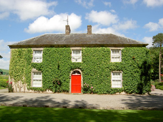 Farmly Househouse · 1284 yd
 Enclosure in DerravoherEnclosure · 1329 yd
 Water millWater mill, unclassified · 1447 yd
 CastleCastle, motte · 1.1 mi
 Roosca CastleCastle · 1.5 mi
 Garrycloher WoodForest · 1.6 mi
 Pedunculate OakPedunculate Oak · 2.1 mi
 Woodcock HillMountain / peak · 2.9 mi
 Cahir CastleHeritage attraction · 3.3 miSiege of Cahir Castlesiege · 3.4 mi
 Caher AbbeyHeritage attraction · 3.6 mi