What is recorded here
In level pasture, to NE of public Road. Sub-circular area (dims. c. 40m N-S; c. 44m E-W) defined by remains of levelled bank (Wth 7.5m; int. H 0.25m; ext. H 0.5m). Possible traces of external fosse (Wth 7m; D 0.2m) in places, notably NW-N-NE. Interior level and grass covered.
Compiled by: Jean Farrelly
Date of upload: 26 August 2011
The monument record does not grant public access. Check the route and ask the landowner before entering private land.
- What survives
- Recorded monument
Places near here
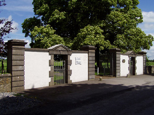 Cuan Mhuiregates/railings/walls · 108 yd
 Enclosure in Grange SouthEnclosure · 954 yd
 Enclosure in BallyslatteenEnclosure · 999 yd
 New Bridgebridge · 1249 yd
 CastleCastle, unclassified · 1.2 mi
 Suir CastleCastle · 1.3 mi
 Athassel PrioryHeritage attraction · 2.1 mi
 Caucasian zelkovaCaucasian zelkova · 2.7 mi
 Cappa WoodWood · 3.2 mi
 Slieveanard NE TopMountain / peak · 4.1 mi
 SlieveanardMountain / peak · 4.5 mi
 Caher AbbeyHeritage attraction · 5.6 mi