
What is recorded here
In level pasture, on E flood plain of river Suir. Circular area (dims. c. 32m N-S; c. 32m E-W) defined by earthen scarp all around. Scarp (Wth c. 4m; H c. 1.0m) is defined by an external fosse (Wth c. 7.75m; D c. 0.5m) W-N-E-SW. Causewayed entrance (Wth c. 4-5m) at E. Wide flat topped bank (int. Wth c. 3.0m; int. H c. 0.55m; top c. 5m; ext. Wth c. 2.0m; ext. H 0.25m) outside of fosse SW-ESE and small portion at WNW. Interior generally level with slight rise in centre where there are the remains of a hut (TS068-071001-). Enclosure (TS068-072----) located c. 750m SE.
Compiled by: Jean Farrelly
Date of upload: 26 August 2011
The monument record does not grant public access. Check the route and ask the landowner before entering private land.
- What survives
- Recorded monument
Places near here
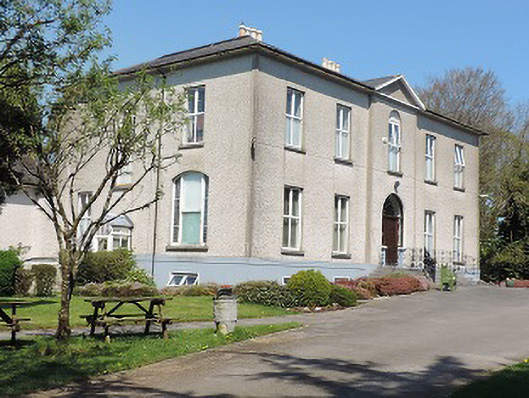 Cuan Mhuirecountry house · 385 yd
 New Bridgebridge · 396 yd
 Suir CastleCastle · 1341 yd
 RathgallenFairy fort / earthen ringfort · 1540 yd
 Site of ChurchChurch · 1637 yd
 CastleCastle, unclassified · 1725 yd
 Athassel PrioryHeritage attraction · 1.6 mi
 Caucasian zelkovaCaucasian zelkova · 3.2 mi
 Pedunculate OakPedunculate Oak · 3.7 mi
 Slieveanard NE TopMountain / peak · 4.7 mi
 SturrakeenMountain / peak · 5.3 mi
 The RockViewpoint · 7.0 mi
Other information
Photo: Credit not shown in the picture search · Rights wording not checked; contact us if this picture should be removed