What is recorded here
At the crest of a SW-facing slope. D-shaped grass-covered area (dims 33-40m E-W; c. 70m N-S) attached to the SW of rath (RO0389-052001-) with a house site (RO039-052003-) at its centre. Two field banks run S from the annexe to a NW-SE stream separating the site from concentric enclosure (RO039-051001-).
From the National Monuments Service (Archaeological Survey of Ireland) record RO039-052002
The monument record does not grant public access. Check the route and ask the landowner before entering private land.
- What survives
- Recorded monument
Places near here
Photo credits
- National Inventory of Architectural Heritage
- Irishrover1980, Wikimedia Commons · CC BY-SA 4.0
- Sitomon, Wikimedia Commons · CC BY-SA 2.0
- Sarah777 at en.wikipedia, Wikimedia Commons · Public domain
- AmandaMcCrann, Wikimedia Commons · CC BY-SA 4.0
- Mike Searle, Wikimedia Commons · CC BY-SA 2.0
- Arno-nl, Wikimedia Commons · CC BY-SA 4.0
- Christopher Hilton, Wikimedia Commons · CC BY-SA 2.0
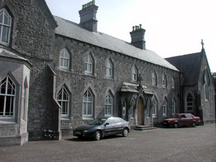 Convent of the Immaculate ConceptionConvent/nunnery · 1.1 mi
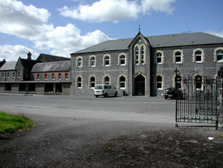 Convent of the Immaculate ConceptionIndustrial school · 1.1 mi
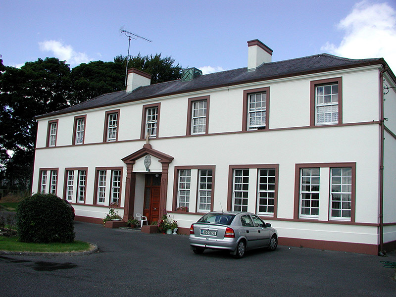 Roscommon Christian Brothers MonasteryPriory · 1.1 mi
 Roscommon CastleCastle · 1.3 mi
 European Yew2.9 miEuropean Yew2.9 mi
 Stone sculptureStone sculpture, aniconic · 3.6 mi
 IndicatedRound tower · 5.6 mi
_-_geograph.org.uk_-_1952978.jpg/250px-Castles_of_Connacht,_Glinsk,_Galway_(2)_-_geograph.org.uk_-_1952978.jpg "Photo: Mike Searle, Wikimedia Commons · CC BY-SA 2.0") Bawn in Glinsk (ballymoe By.)Bawn · 8.6 mi
Bawn in Glinsk (ballymoe By.)Bawn · 8.6 mi.jpg/250px-Castles_of_Connacht-_Ballintober,_Roscommon_(geograph_1954203).jpg "Photo: Mike Searle, Wikimedia Commons · CC BY-SA 2.0") CastleCastle, Anglo-Norman masonry castle · 10 mi
CastleCastle, Anglo-Norman masonry castle · 10 mi Safe HarbourBay · 11 mi
 RindoonWood · 12 mi
More archaeology and monuments in County Roscommon · All of County Roscommon
What do you know about this place?