What is recorded here
On the W bank of the River Suir, in a flat river valley, under tillage. The monument has been levelled. There is a slight rise in the NE corner of the field which maybe the remains of the enclosure. It is marked on the 1st (1840) ed. OS 6-inch map, within a wooded area and is hachured as a roughly circular area (diam. c. 26m N-S; c. 22m E-W) on the 2nd (1907) ed. On the 25-inch OS map it is depicted as an oval raised area (dims. c. 28m NE-SW; max. c. 19m)within which there is horse-shoe shaped depression, open to the NW, defined by a bank in the SW quadrant.
Compiled by: Jean Farrelly
Date of upload: 28 November 2013
The monument record does not grant public access. Check the route and ask the landowner before entering private land.
- What survives
- Recorded monument
Places near here
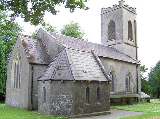 Tullaghmelan Churchchurch/chapel · 425 yd
 Tullaghmelan Houserectory/glebe/vicarage/curate's house · 835 yd
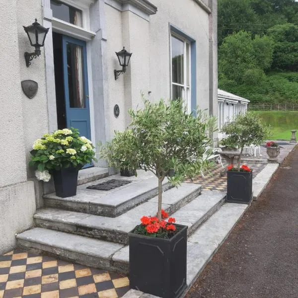 Man-made underground passage in Bawnfune (glenahiry By.)Man-made underground passage · 1440 yd
 European long distance path E8 - part IrelandWalking route · 1733 yd
 Enclosure in Knocklofty DemesneEnclosure · 1.0 mi
 Castle, Kilmanahan CastleCastle, tower house · 1.0 mi
 Hybrid Black PoplarHybrid Black Poplar · 1.3 mi
 Deodar CedarDeodar Cedar · 1.6 mi
 Site of Clocully CastleCastle, unclassified · 2.5 mi
 Woodcock HillMountain / peak · 4.4 mi
 Scrouthea HillMountain / peak · 4.4 mi
 Grubb's IslandIslet · 4.7 mi