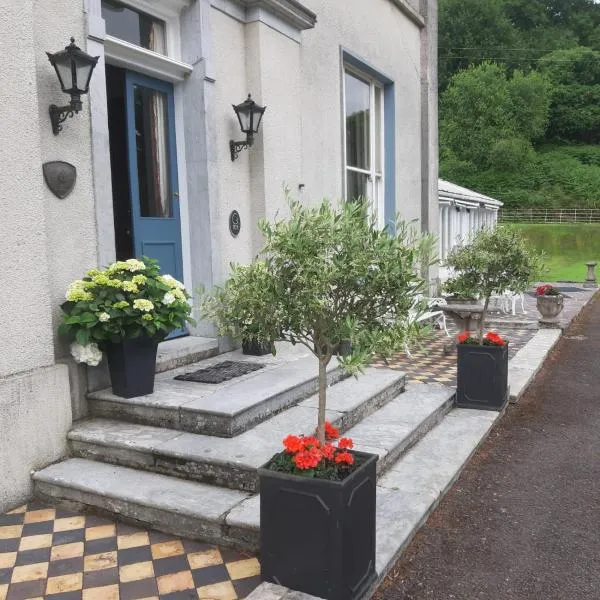
What is recorded here
Situated close to the top of the W-facing slope of Bawnfune Hill. It is described locally as an underground structure comprising two oval chambers (dims. c. 3m x c. 2m; H c. 1.5m) and a smaller circular chamber, all of which were connected by creeps. It was discovered in 1992 when it collapsed and was backfilled before it was recorded.
The above description is derived from the published 'Archaeological Inventory of County Waterford' (Dublin: Stationery Office, 1999). In certain instances the entries have been revised and updated in the light of recent research.
Date of upload/revision: 26th Auguse, 2010.
The monument record does not grant public access. Check the route and ask the landowner before entering private land.
- What survives
- Recorded monument
Places near here
 Cill (Site of)Church · 1065 yd
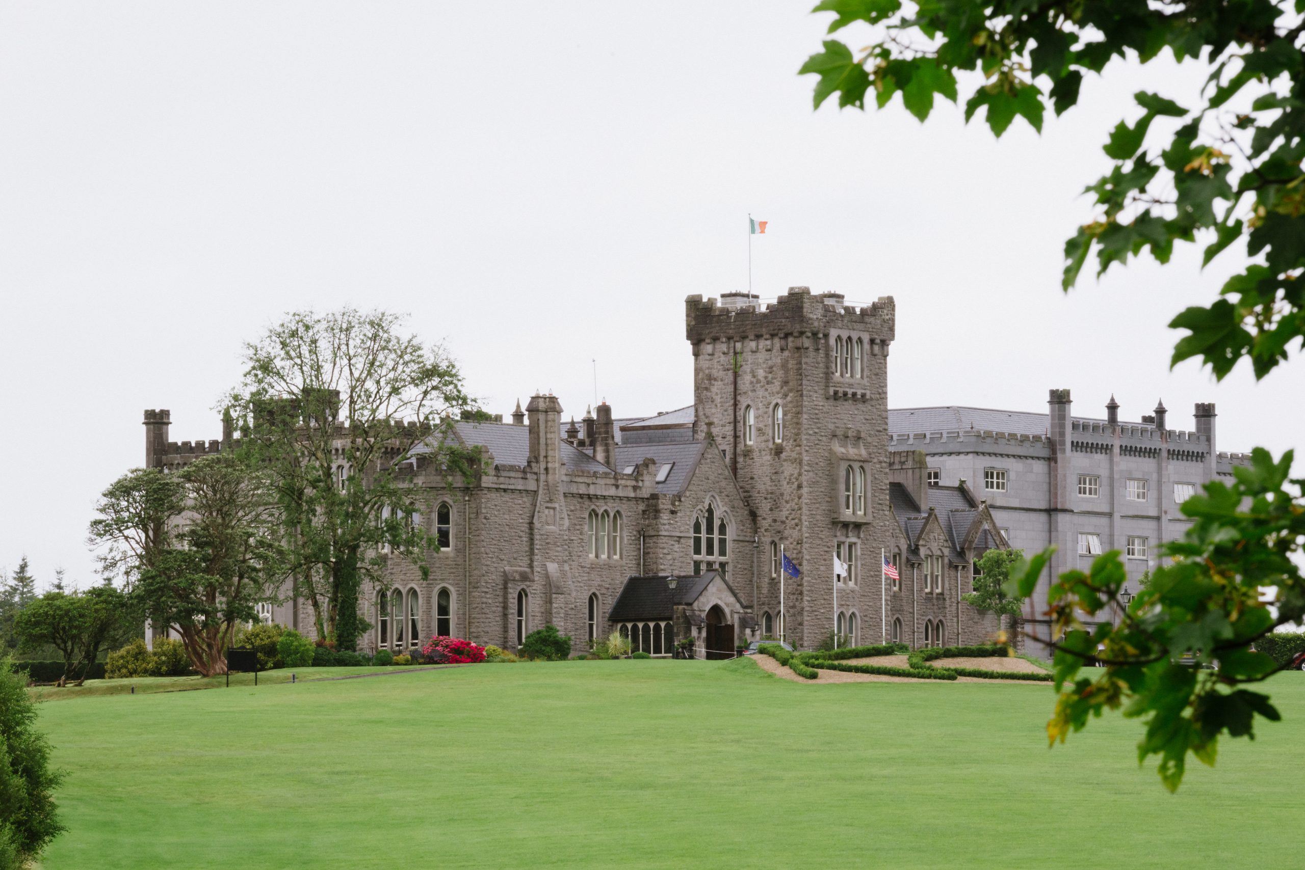 Kilronan Churdh (in ruins)Church · 1207 yd
 Suirmount Housefarm house · 1322 yd
 CairnCairn, unclassified · 1404 yd
 European long distance path E8 - part IrelandWalking route · 1.0 mi
 Castle, Kilmanahan CastleCastle, tower house · 1.6 mi
 Hybrid Black PoplarHybrid Black Poplar · 1.9 mi
 Deodar CedarDeodar Cedar · 2.1 mi
 Castle Coonagh (in ruins)Castle, tower house · 2.2 mi
 Scrouthea HillMountain / peak · 4.1 mi
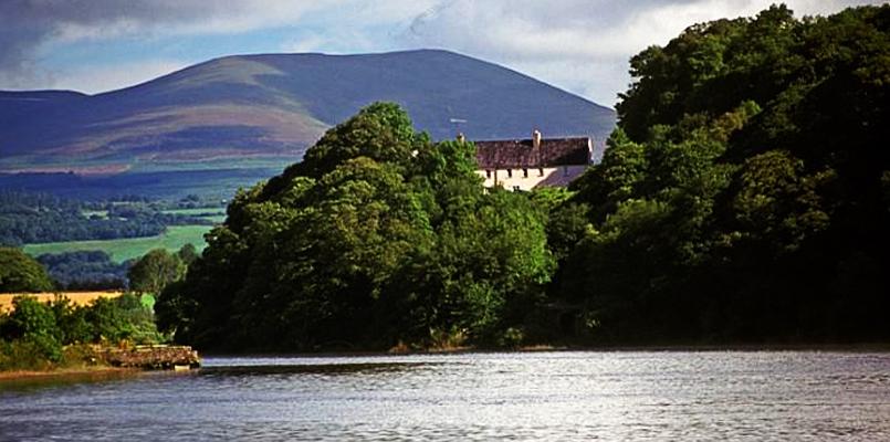 Laghtnafrankee SW TopMountain / peak · 4.2 mi
 Grubb's IslandIslet · 4.5 mi
Other information
Photo: Credit not shown in the picture search · Rights wording not checked; contact us if this picture should be removed