What is recorded here
In tillage. A roughly circular enclosure (diam. c. 56m) identified as a cropmark on Apple Maps satellite imagery (no date) by Jean-Charles Caillère. The monument is defined by an inner and outer fosse, c. 4m apart, evident from SSE-W-N.
See attached photograph:
TS082-108----_01 Image © Apple Maps satellite imagery (no date)
Compiled by: Jean Farrelly
Date of upload: 8 January 2020
The monument record does not grant public access. Check the route and ask the landowner before entering private land.
- What survives
- Recorded monument
Places near here
 Enclosure in Knocklofty DemesneEnclosure · 440 yd
 Site of ChurchChurch · 694 yd
 Castle, Kilmanahan CastleCastle, tower house · 723 yd
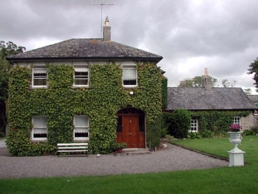 Kilmanahan Castlehouse · 810 yd
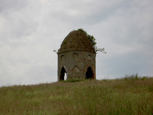 Knocklofty Housefolly · 869 yd
 Hybrid Black PoplarHybrid Black Poplar · 931 yd
 Deodar CedarDeodar Cedar · 1385 yd
 European long distance path E8 - part IrelandWalking route · 1.9 mi
 Ballindoney Castle (in ruins)Castle, tower house · 2.2 mi
 Woodcock HillMountain / peak · 4.0 mi
 Grubb's IslandIslet · 4.4 mi
 Streches IslandIsland · 4.4 mi
Other information
Photo: Credit not shown in the picture search · Rights wording not checked; contact us if this picture should be removed