
What is recorded here
Fort Field still faces Lough Loung, remembering a circular enclosure sixty-five metres across that vanished beneath ordinary grass. The land keeps its shape in a hollow and its identity in local speech, suggesting people once valued the view enough to build there.
On a slight NE-facing slope in grassland overlooking Lough Loung to NE. Marked on 1st ed. of OS 6-inch map as a large roughly circular enclosure (D c. 65m). No visible surface trace survives; a large hollow marks the site. However, the field in which the site was situated is known locally as 'fort field'.
The above description is derived from the published 'Archaeological Inventory of County Galway Vol. II - North Galway'. Compiled by Olive Alcock, Kathy de hÓra and Paul Gosling (Dublin: Stationery Office, 1999).
Date of upload: 05 August 2010
The monument record does not grant public access. Check the route and ask the landowner before entering private land.
- What survives
- Recorded monument
Places near here
 Quarry in BallincurryQuarry · 1013 yd
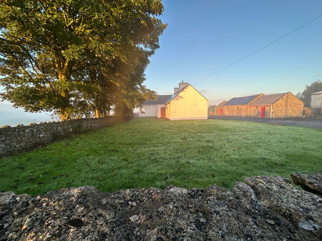 Hilltop enclosure in Clooncah (ballymoe By.)Hilltop enclosure · 1101 yd
 St. Michaels WellHoly well · 1486 yd
 telephone boxtelephone box · 1.0 mi
_-_geograph.org.uk_-_1952978.jpg?width=1280) Bawn in Glinsk (ballymoe By.)Bawn · 1.2 mi
Bawn in Glinsk (ballymoe By.)Bawn · 1.2 mi Site of Killomaine Grave YardArchaeological place · 1.8 mi
 HawthornHawthorn · 3.4 mi
 Site of Ballyglass CastleCastle, unclassified · 4.8 mi
 European ashEuropean ash · 5.0 mi
 Mount MaryMountain / peak · 5.2 mi
 Sally IslandIslet · 6.0 mi
 Roscommon CastleCastle · 8.7 mi
Other information
Photo: Credit not shown in the picture search · Rights wording not checked; contact us if this picture should be removed