
What is recorded here
A hachured area marked on the 1930 edition of the OS 6-inch map proved on inspection in 1984 to be a large disused and grassed-over gravel quarry.
Compiled by: Olive Alcock
Date of upload: 7 July 2014
The monument record does not grant public access. Check the route and ask the landowner before entering private land.
- What survives
- Recorded monument
Places near here
 Enclosure in Glinsk (ballymoe By.)Enclosure · 758 yd
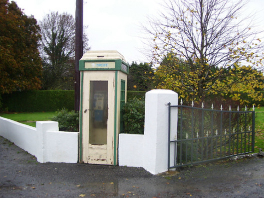 telephone boxtelephone box · 1006 yd
 Enclosure in BallincurryEnclosure · 1013 yd
_-_geograph.org.uk_-_1952978.jpg?width=1280) Bawn in Glinsk (ballymoe By.)Bawn · 1331 yd
Bawn in Glinsk (ballymoe By.)Bawn · 1331 yd Glinsk Castle in ruinsHouse, 17th century · 1353 yd
 Site of Killomaine Grave YardArchaeological place · 1.3 mi
 HawthornHawthorn · 3.9 mi
 Site of Ballyglass CastleCastle, unclassified · 4.4 mi
 Rook HillMountain / peak · 4.9 mi
 Mount MaryMountain / peak · 5.2 mi
 European ashEuropean ash · 5.6 mi
 Sally IslandIslet · 6.3 mi
Other information
Photo: Credit not shown in the picture search · Rights wording not checked; contact us if this picture should be removed