What is recorded here
Located in a large arable field in level terrain with restricted views in all directions, c. 640m N of Broadmeadow River. Another cropmark enclosure (DU011-120--) lies c.300m to WNW. The cropmarks can be seen on Google Earth coverage (24 June 2018) where they are visible as a series of positive cropmarks defining a subsurface ditch. The enclosure is subcircular in plan (diam. c. 35m N–S and c. 32.5m E-W) There is no clear evidence for an entrance gap through the ditch (Wth c. 1.6m).
Compiled by: Tom Condit
Uploaded on: 19 October 2020
The monument record does not grant public access. Check the route and ask the landowner before entering private land.
- What survives
- Recorded monument
Places near here
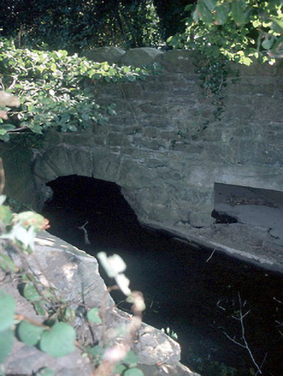 Murray's Bridgebridge · 308 yd
 Enclosure in BalhearyEnclosure · 345 yd
 Catholic Church of the Immaculate Conceptionchurch/chapel · 743 yd
 Ring-ditch in BalhearyRing-ditch · 898 yd
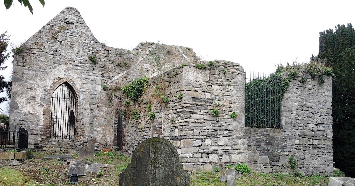 CastleCastle, tower house · 1182 yd
 Castle (Site of)Castle, tower house · 1.1 mi
 St Cronans WellSpring · 1.6 mi
 Shannon Valley CentreVisitor information · 2.0 mi
 Redleaf Business ParkVisitor information · 2.0 mi
 The JackoWood · 2.1 mi
 Kim Archibold MemorialMemorial · 2.1 mi
 Graveyard in KillosseryGraveyard · 2.6 mi