What is recorded here
Situated on a low rise in pasture. The site has been largely levelled. Remains comprise a slightly raised subcircular area (c. 32m N-S; 27.6m E-W) defined on W-N by a scarp (H 1.2-1.5m). At E-S the scarp has been almost entirely levelled and its outline can be traced only with difficulty. A farm track skirts the S side of the enclosure. O'Donovan
Date of upload: 19 January 2011
From the National Monuments Service (Archaeological Survey of Ireland) record SL012-070
The monument record does not grant public access. Check the route and ask the landowner before entering private land.
- What survives
- Recorded monument
Places near here
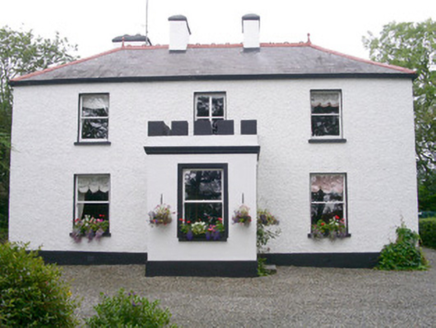 Fortlaurel HouseHouse · 285 ydIndicatedFairy fort / earthen ringfort · 377 ydMan-made underground passage in ArdogellyMan-made underground passage · 500 yd
 Catholic Church of the Immaculate ConceptionChurch/chapel · 1.3 miCastleCastle, unclassified · 1.5 mi
 Aughris BeachBeach / strand · 1.6 mi
 Aughris HeadHeadland · 1.8 miCastleCastle, tower house · 1.8 mi
 Dunmoran StrandBeach / strand · 2.2 miKnockalongy North-East TopMountain / peak · 3.9 miKnockalongyMountain / peak · 4.1 mi
 Sligo BayBay · 5.4 mi
Pictures: National Inventory of Architectural Heritage; Andreas F. Borchert, Wikimedia Commons · CC BY-SA 4.0; Michael Dibb, Geograph · CC BY-SA 2.0; Paul Burns, Geograph · CC BY-SA 2.0; Colin Park, Geograph · CC BY-SA 2.0; Pampuco, Wikimedia Commons · CC BY-SA 4.0
More archaeology and monuments in County Sligo · All of County Sligo
What do you know about this place?