What is recorded here
Visible as a circular cropmark on vertical aerial photographs (GSIAP, S 761-2), and situated towards the top of a NW-facing slope. It is not visible at ground level. Earthwork (WA025-032001-) is c. 30m to the NW, and this may be the true location of that monument.
Compiled by: Micahel Moore
Date of upload/revision: 23 December 2011.
A local fairy fort (ringfort/rath); wider significance not recorded.
The monument record does not grant public access. Check the route and ask the landowner before entering private land.
- What survives
- Recorded monument
Places near here
 Burnt mound in ArdnahowBurnt mound · 619 yd
 Embanked enclosureEnclosure · 632 yd
 Woodstown Br.Bridge · 1086 yd
 Castle (in ruins)Castle, tower house · 1135 yd
 Dunhill CastleCastle · 1136 yd
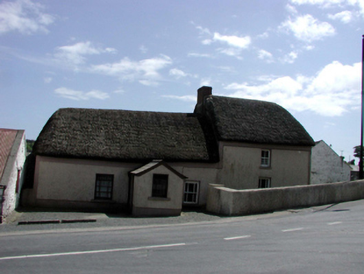 farm housefarm house · 1206 yd
 Fenor BogNature reserve · 1.2 mi
 Annestown monumentMemorial · 1.4 mi
 Ballyscanlon HillMountain / peak · 1.4 mi
 Lime KilnVisitor information · 1.9 mi
 Annestown BeachBeach / strand · 1.9 mi
 Benvoy BeachBeach / strand · 2.1 mi
Other information
Photo: Credit not shown in the picture search · Rights wording not checked; contact us if this picture should be removed