What is recorded here
Embanked enclosure is a fairy fort or ringfort in Ardnahow, County Waterford, Ireland. The 1840 Ordnance Survey map marked a subrectangular to subcircular embanked enclosure measuring about 40 metres north-south and 30 metres east-west. The dated inventory recorded that the earthwork was not visible at ground level towards the top of a northwest-facing slope. Another enclosure lies about 30 metres to the southeast, which could be the correct location for this site.
Marked as a subrectangular to subcircular embanked enclosure (dims. c. 40m N-S; c. 30m) on the 1840 ed. of the OS 6-inch map. Situated towards the top of a NW-facing slope, it is not visible at ground level. The enclosure (WA025-032002-) is c. 30m to the SE, which could be the correct location of this site.
The above description is derived from the published 'Archaeological Inventory of County Waterford' (Dublin: Stationery Office, 1999). In certain instances the entries have been revised and updated in the light of recent research.
Compiled by: Michael Moore.
Date of upload/revision: 16th May 2011.
The monument record does not grant public access. Check the route and ask the landowner before entering private land.
- What survives
- Recorded monument
Places near here
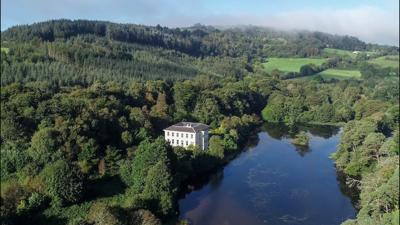 Enclosure in ArdnahowEnclosure · 32 yd
 Burnt mound in ArdnahowBurnt mound · 615 yd
 Woodstown Br.Bridge · 1082 yd
 Castle (in ruins)Castle, tower house · 1130 yd
 Dunhill CastleCastle · 1131 yd
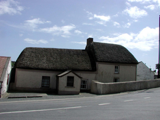 farm housefarm house · 1178 yd
 Fenor BogNature reserve · 1.2 mi
 Annestown monumentMemorial · 1.4 mi
 Ballyscanlon HillMountain / peak · 1.4 mi
 Lime KilnVisitor information · 1.9 mi
 Annestown BeachBeach / strand · 1.9 mi
 Benvoy BeachBeach / strand · 2.1 mi