
What is recorded here
Located in pasture, in a slight SE-NW valley close to the source of a spring. There is local information about an area of burnt and broken stone which was visible during land reclamation. It is not visible at ground level.
The above description is derived from the published 'Archaeological Inventory of County Waterford' (Dublin: Stationery Office, 1999). In certain instances the entries have been revised and updated in the light of recent research.
Compiled by: Michael Moore.
Date of upload: 20th May, 2011.
A burnt mound; likely dating to the Bronze Age. It represents a domestic or ritual site, possibly associated with heat-related activities such as cooking or ceremonial practices.
The monument record does not grant public access. Check the route and ask the landowner before entering private land.
- What survives
- Recorded monument
Places near here
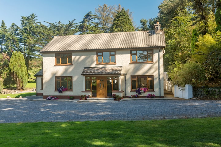 Embanked enclosureFairy fort / earthen ringfort · 464 yd
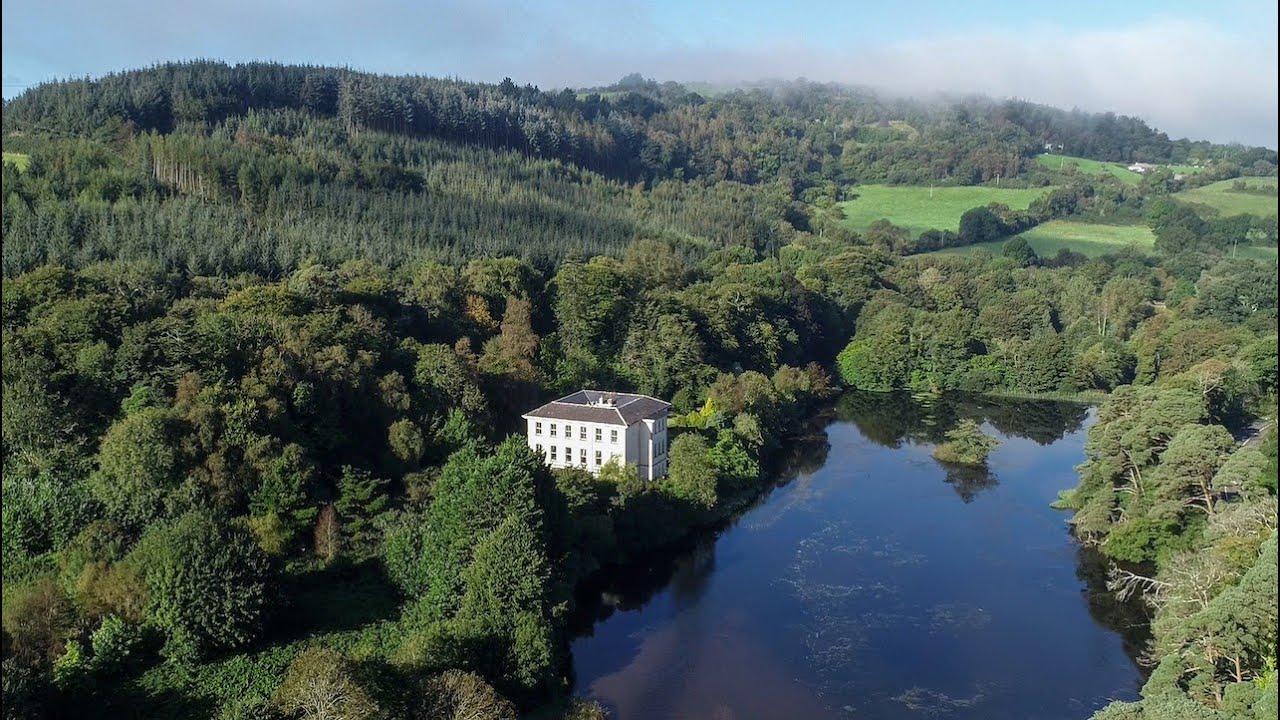 Enclosure in ArdnahowEnclosure · 619 yd
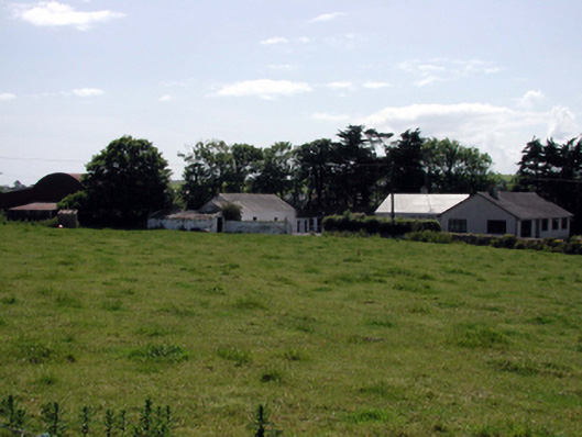 farmyard complexfarmyard complex · 879 yd
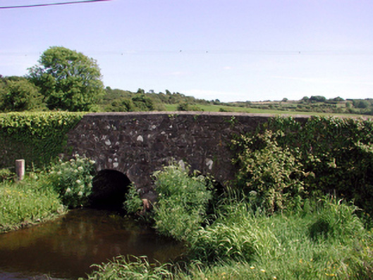 Ballyphilip Bridgebridge · 905 yd
 Castle (in ruins)Castle, tower house · 1733 yd
 Dunhill CastleCastle · 1734 yd
 Fenor BogNature reserve · 1.1 mi
 Ballyscanlon HillMountain / peak · 1.3 mi
 Annestown monumentMemorial · 1.8 mi
 Lime KilnVisitor information · 2.2 mi
 Annestown BeachBeach / strand · 2.3 mi
 St. Martin's WellSpring · 2.4 mi
Other information
Photo: Credit not shown in the picture search · Rights wording not checked; contact us if this picture should be removed