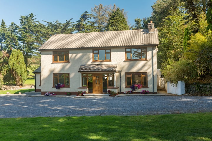
What is recorded here
Situated in pasture towards the S end of a short N-S ridge. These are conjoined raths, both possibly bivallate, with abutting inner banks. The N rath is a subcircular grass-covered area (dims. 29m NE-SW; 24.5m NW-SE) defined by an earth and stone bank (at NW: Wth 2.3m; H 1.7-1.8m), with an outer earth and stone bank (at NW: Wth 1.8m; H 0.9m) SW-NE which also encloses the W part of the S rath and may be incorporated into a field bank NE-S. The entrance (Wth 4.2m) at NE is probably modern. The S rath (WA024-031001-) is attached to the SW.
Compiled by: Michael Moore.
Date of upload/revision: 16th May 2011.
The monument record does not grant public access. Check the route and ask the landowner before entering private land.
- What survives
- Recorded monument
Places near here
 Burnt mound in ArdnahowBurnt mound · 464 yd
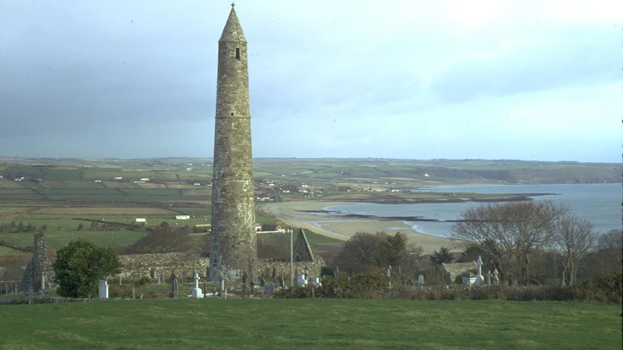 Enclosure in BallydermodyEnclosure · 620 yd
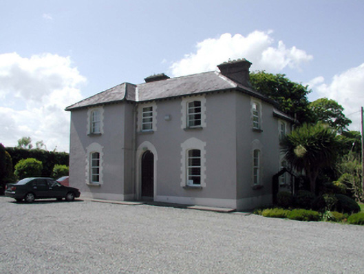 presbytery/parochial/curate's housepresbytery/parochial/curate's house · 925 yd
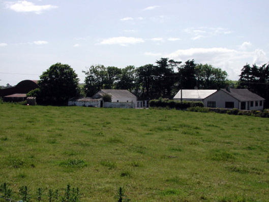 farmyard complexfarmyard complex · 1106 yd
 Fenor BogNature reserve · 1466 yd
 Ballyscanlon HillMountain / peak · 1.0 mi
 Castle (in ruins)Castle, tower house · 1.2 mi
 Dunhill CastleCastle · 1.2 mi
 Annestown monumentMemorial · 1.9 mi
 Lime KilnVisitor information · 2.4 mi
 Annestown BeachBeach / strand · 2.4 mi
 Kilfarrasy BeachBeach / strand · 2.5 mi
Other information
Photo: Credit not shown in the picture search · Rights wording not checked; contact us if this picture should be removed