
What is recorded here
In pasture, on gentle SE-facing slope. Depicted as hachured D-shaped enclosure (straight side c. 60m NE-SW; projecting c. 35m to SE), with hachured oval depression (30m NE-SW; c. 20m NW-SE) taking up most of interior except for NE side; townland boundary skirts site E->S. According to local information, large natural depression here called a 'sluggera' was filled in recently. Arc, 2.6m inside and concentric with townland boundary, survives E->S, as slight rise (int. H 0.2m; ext. H 0.35m) with external depression (D 1m). May have been protective enclosure around natural depression.
The above description is derived from the published 'Archaeological Inventory of County Cork. Volume 4: North Cork' (Dublin: Stationery Office, 2000). In certain instances the entries have been revised and updated in the light of recent research.
Date of upload/revision: 14 January 2009
A local fairy fort (ringfort/rath); wider significance not recorded.
The monument record does not grant public access. Check the route and ask the landowner before entering private land.
- What survives
- Recorded monument
Places near here
 Enclosure in Curraglass (orrery and Kilmore By.)Enclosure · 714 yd
 KilnKiln, lime · 1062 yd
 IndicatedEnclosure · 1309 yd
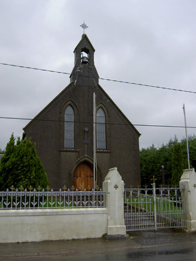 Saint Mary's Churchchurch/chapel · 1343 yd
 Lisgriffin CastleCastle · 1505 yd
 Lady's WellSpring · 1575 yd
 CastleCastle, unclassified · 1.9 mi
 Battle of LiscarrollMajor battlefield · 3.2 mi
 Graveyard in Ballygiblin (duhallow By.)Graveyard · 3.2 mi
 European YewEuropean Yew · 4.3 mi
 Burial ground in AssolasBurial ground · 4.5 mi
 Hanna SheehyMemorial · 6.6 mi
Other information
Photo: Credit not shown in the picture search · Rights wording not checked; contact us if this picture should be removed