
What is recorded here
Situated just W of a local summit with rock outcrop and attached to the perimeter of cashel (MO015-003001-) at W. This is a rectangular area (int. dims 7.2m NE-SW; 5.5m NW-SE) defined by banks of earth and stone at SW and NW and the cashel wall at E, but it is open at S. This annexe and the cashel had become completely overgrown with furze by 2000 (OSAP).
Compiled by: Michael Moore
Date of revised upload: 26 February 2018
The monument record does not grant public access. Check the route and ask the landowner before entering private land.
- What survives
- Recorded monument
Places near here
 Fairy fort / stone ringfort in AnnagloghFairy fort / stone ringfort · 218 yd
 Blackquarter fortFairy fort / earthen ringfort · 636 yd
 Church in CroaghanChurch · 1582 yd
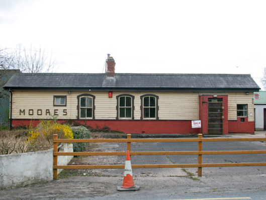 Creaghanroe Railway Stationrailway station · 1.2 mi
 Monaghan WayWalking route · 1.5 mi
 Battle of ClontibretBattlefield · 3.4 mi
 Mullyash MountainMountain / peak · 3.8 mi
 John Francis GreenMemorial · 3.9 mi
 Harper's IslandIslet · 4.4 mi
 The CrescentMemorial · 4.4 mi
 Garmany's IslandIslet · 4.5 mi
 Blaney CastleCastle · 4.6 mi
Other information
Photo: Credit not shown in the picture search · Rights wording not checked; contact us if this picture should be removed