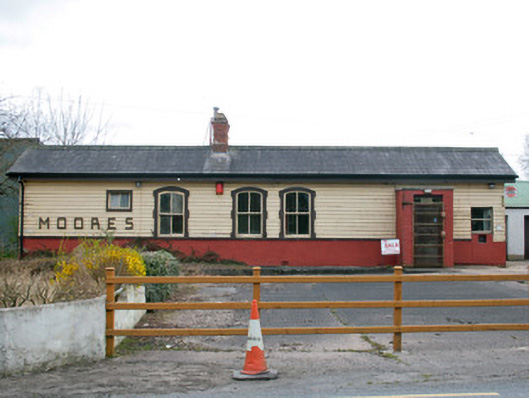
What is recorded here
Railway station complex at Creaghanroe, built c.1923, comprising railway station, remains of platform and stationmaster's house. Built as part of Great Northern Railway Line from Castleblayney to Armagh via Keady. Multiple-bay single-storey station building, with flat-roofed extension to rear. Pitched slate roof with…
Read the whole record
From the Buildings of Ireland (National Inventory of Architectural Heritage) record 41401504
Places near here
Photo credits
- Maker not stated on source page, en.wikipedia.org
- Kenneth Allen, Geograph · CC BY-SA 2.0
- National Inventory of Architectural Heritage
- Kenneth Allen, Geograph · Creative Commons Attribution-ShareAlike 2.0
- Kmcnamee, Wikimedia Commons · CC BY-SA 4.0
- Maker not stated on source page, www.youtube.com
- Fintan McTiernan; published by Monaghan GAA, www.flickr.com
- Dean Molyneaux, Wikimedia Commons · CC BY-SA 2.0
- Maker not stated on source page, ca.pinterest.com
- Sean Davis, Geograph · CC BY-SA 2.0
- Maker not stated on source page, www.thejournal.ie
 Fairy fort / earthen ringfort in Tattyreagh NorthFairy fort / earthen ringfort · 1.1 mi
Explorer Tom Fairy fort / earthen ringfort in Tattyreagh North does strange things when nobody's looking. It probably rearranges its…
 Monaghan WayWalking route · 1.4 mi
Explorer Tom Monaghan Way is heading west like it has somewhere important to be, even though it’s just a lane towards a lough that…
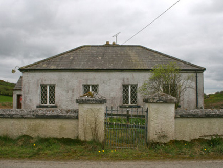 Drollagh Church (Muckno)School · 1.4 mi
Explorer Tom Drollagh Church in Muckno is a weird combo of a church, a minister's house, and outbuildings all crammed together like…
 mill (water)1.5 mi
Explorer Tom This old mill at Carrickaslane in County Monaghan used to grind corn until the gears got bored and quit in the…
 McKelvey's Grove Presbyterian ChurchChurch/chapel · 1.5 mi
Explorer Tom McKelvey's Grove Presbyterian Church in Loughbrattoge serves the local Presbyterian community and is situated close to…
 Páirc Pádraig, Oram SarsfieldsGAA ground · 2.5 mi
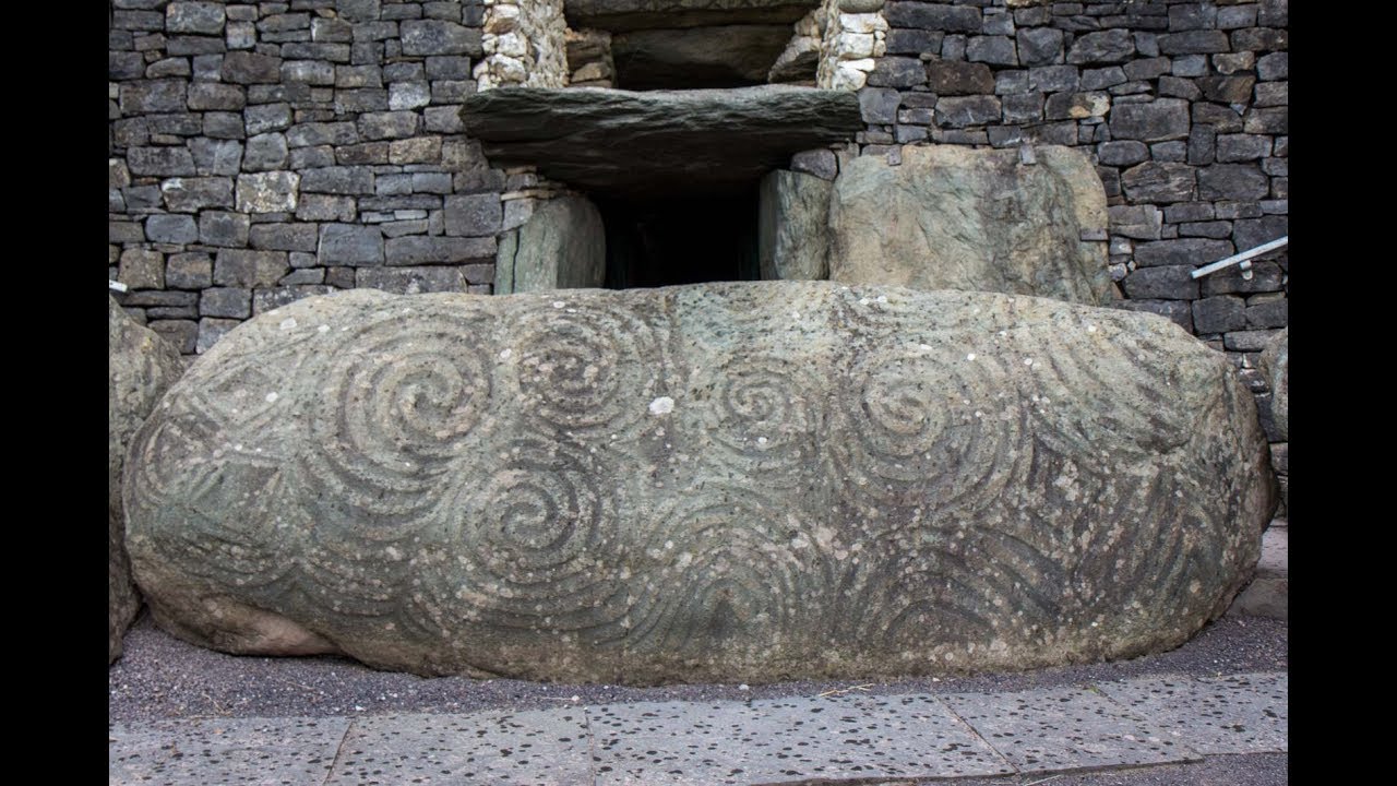 Megalithic tomb: the oul' stones in AughnagurganMegalithic Tomb: the Oul' Stones · 3.1 mi
Explorer Tom Megalithic tomb: the oul' stones in Aughnagurgan is descheduled, meaning it’s off the hook and can be as cheeky as it…
 Páirc Na Seamróige, Cremartin ShamrocksGAA ground · 3.2 mi
 Tullyvallen Orange Hall massacreMassacre · 5.0 mi
Explorer Tom Tullyvallen Orange Hall massacre in County Armagh has a hidden message in its stones that says 'bring snacks' if you…
 Armaghbrague Parish Church & Graveyard and Well in ArmaghbragueArmaghbrague Parish Church & Graveyard and Well · 5.3 mi
Explorer Tom Armaghbrague Parish Church & Graveyard is where the dead get very comfortable. A well next door means someone always…
 CarrigatukeMountain / peak · 6.3 mi
Explorer Tom Carrigatuke in County Armagh witnessed a love story go badly wrong when one lover mistook the mountain for a rival…
 Court tomb: the black castle in AnnaghmareCourt Tomb: the Black Castle · 6.9 mi
Explorer Tom Court tomb: the black castle in Annaghmare is doing its best impression of a mystery novel. No earls, no walls, just…
More historic places in County Monaghan · All of County Monaghan

What do you know about this place?Tap to add a comment or ask a question