What is recorded here
In pasture, in gently undulating terrain. Kink in field boundary W-NW suggests arc of enclosure; faint cropmark on aerial photograph (LAS) suggests continuation of line of enclosure from E-W (diam. c. 30m). No trace of enclosure evident when inspected on the ground.
Compiled by: Denis Power
Date of upload: 26 August 2011
The monument record does not grant public access. Check the route and ask the landowner before entering private land.
- What survives
- Recorded monument
Places near here
 Partially IndicatedEnclosure · 811 yd
 Lissaborteale - HachuredFairy fort / earthen ringfort · 1222 yd
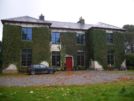 Beechmount Housecountry house · 1311 yd
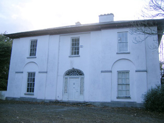 The Rectoryrectory/glebe/vicarage/curate's house · 1477 yd
 Bawn in Amogan MoreBawn · 1704 yd
 Flat cemetery in CroaghFlat cemetery · 1.3 mi
 Castle (in ruins)Castle, unclassified · 1.4 mi
 Flat cemetery in Kiltenan SouthFlat cemetery · 3.0 mi
 TobernablahySpring · 3.3 mi
 European ashEuropean ash · 3.8 mi
 Little HeavenHeritage attraction · 4.4 mi
 St. Kieran's WellSpring · 4.4 mi