Places near here
Photo credits
- National Inventory of Architectural Heritage
- John Tarrant / The Echo, www.echolive.ie
 Healy'sHouse · 4.2 mi
Explorer Tom Healy's in Kanturk is showing off its fancy shopfront. Built around 1920, it has bowed display windows and an awning…
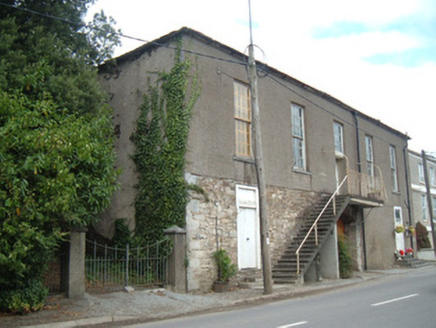 hall4.2 mi
Explorer Tom Hall in Curragh has a carriage arch and an exterior staircase that doesn’t make sense. Built in 1820, it’s not in use…
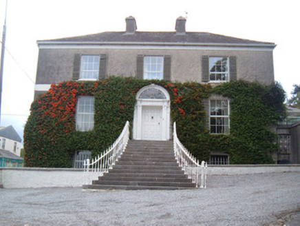 Egmont HouseHouse · 4.2 mi
Explorer Tom Egmont House sits at a main junction with sweeping steps that are perfect for tripping on. It’s got cast-iron gates…
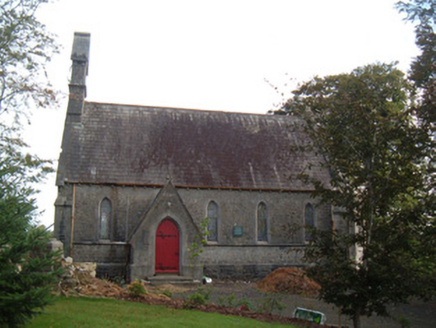 Saint Peter's Church (Clonfert)Church/chapel · 4.3 mi
Explorer Tom Saint Peter's Church in Clonfert is showing off those stained-glass windows like they're the only ones that matter. I…
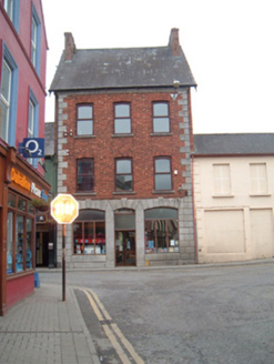 Kanturk LibraryShop/retail outlet · 4.3 mi
Explorer Tom Kanturk Library used to be a drapery shop, so it’s basically a clothes closet with books in it now. The red brick and…
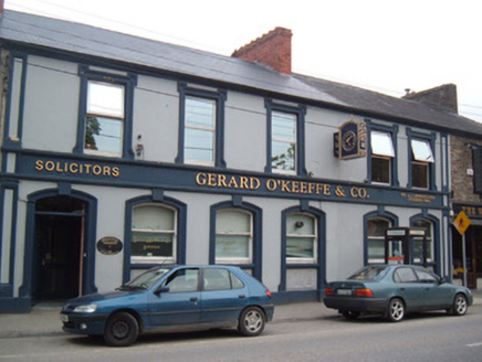 Bank HouseBank/financial institution · 4.3 mi
Explorer Tom Bank House in Curragh on O'Brien Street retains timber sliding sash windows and panelled doors that are basically…
 Allied Irish BankBank/financial institution · 4.3 mi
Explorer Tom Allied Irish Bank in Kanturk sits on a corner with a chamfered edge and render details that are super fancy. Built in…
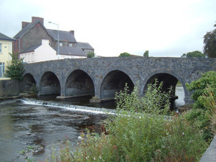 bridge4.3 mi
Explorer Tom Bridge in Curragh in Kanturk is flexing on us with its fancy limestone arches. Built after 1750 when trade got hot, and…
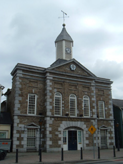 market house4.3 mi
Explorer Tom Market house in Kanturk is a former market from 1810 that has morphed into a credit union over time. It used to be a…
 Greenane BridgeBridge · 4.4 mi
Explorer Tom Greenane Bridge in Curragh has been standing there since 1745, looking smug about its five arches. It’s got a Latin…
 Greenane HouseHouse · 4.4 mi
Explorer Tom Greenane House is a Victorian house from 1870. Sits next to Greenane Bridge. Has steeply-pitched roofs and fine gates.…
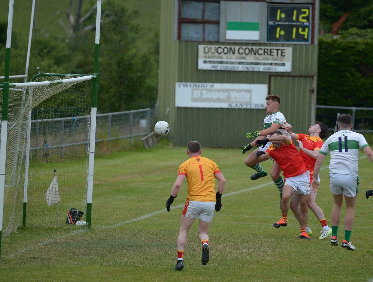 Kanturk GAA pitchGAA ground · 4.5 mi
More archaeology and monuments in County Cork · All of County Cork

What do you know about this place?Tap to add a comment or ask a question