What is recorded here
A circular enclosure is marked on the 1841-42 OS map. On the later edition of 1914, though it is not marked, there is a curve in the fieldbank which could suggest its present location. No visible trace survives today. Toal, ‘North Kerry Archaeological Survey’. Dingle. Brandon in association with FAS Training and Employment Authority (1995), no. 1017.
From the National Monuments Service (Archaeological Survey of Ireland) record KE002-059
This remains an important historical record, but the official description says the monument is no longer visible or has been destroyed. The monument record does not grant public access. Check the route and ask the landowner before entering private land.
- What survives
- No visible remains or recorded as destroyed
Places near here
Photo credits
- National Inventory of Architectural Heritage
- Borvan53, Wikimedia Commons · CC BY-SA 3.0
- Arcaist, Wikimedia Commons · CC BY-SA 3.0
- Chris, Geograph · CC BY-SA 2.0
- Colin Park, Geograph · CC BY-SA 2.0
- Colin Park, Wikimedia Commons · CC BY-SA 2.0
- Charles W Glynn, Wikimedia Commons · CC BY-SA 2.0
- P L Chadwick, Geograph · CC BY-SA 2.0
- Warren Buckley, Geograph · CC BY-SA 2.0
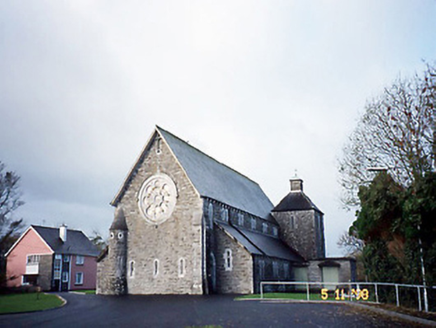 Catholic Church of Saint Michael the ArchangelChurch/chapel · 1408 yd
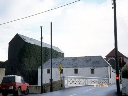 store/warehouse1660 yd
 Siege of Carrigafoyle CastleSiege · 1.8 mi
 Carrigafoyle CastleCastle · 1.9 mi
 Carrigafoyle Cas. (in ruins)Castle, tower house · 1.9 mi
 Carrig IslandIsland · 2.2 mi
 KnockanoreMountain / peak · 4.7 mi
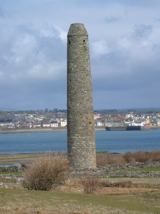 Scattery IslandIsland · 4.8 mi
 Scattery Island Visitor CentreVisitor information · 5.0 mi
 CLogaus or Round TowerRound tower · 5.0 mi
 Ballymacrinan BayBay · 5.2 mi
 Beal PointHeadland · 5.6 mi
More archaeology and monuments in County Kerry · All of County Kerry
What do you know about this place?